
Division Sylhet Division Time zone BST (UTC+6) Area 434.8 km² | District Sunamganj District Postal code 3080-93 | |
 | ||
Weather 23°C, Wind N at 3 km/h, 67% Humidity | ||
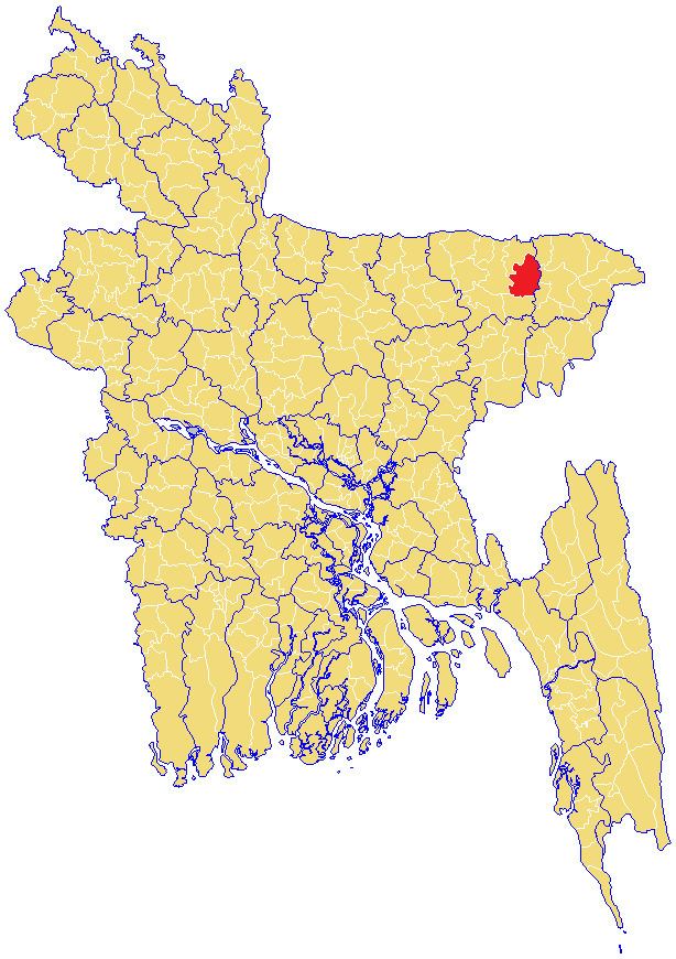
Chhatak (Bengali: ছাতক) is an Upazila of Sunamganj District in the Division of Sylhet, Bangladesh.
Contents
Geography
Chhatak is located at 25.0417°N 91.6750°E / 25.0417; 91.6750. It has 43,727 households and total area 434.76 km².
Demographics
A the 1991 Bangladesh census, Chhatak had a population of 273,153. Males constituted 51.05% of the population and females 48.95%. Its adult (18+) population was 135,445. Chhatak had an average literacy rate of 24.5% (7+ years) compared with the national average of 32.4%. Religious affiliation was: Muslim 83.08%, Hindu 16.75%, Buddhist, Christian and others 0.17%.
Administration
Chhatak has 13 Unions/Wards, 316 Mauzas/Mahallas and 530 villages.
References
Chhatak Upazila Wikipedia(Text) CC BY-SA