District Baghpat Time zone IST (UTC+5:30) Elevation 240 m Local time Saturday 9:02 PM | Founded by nishant gupta Vehicle registration UP Population 17,795 (2001) | |
 | ||
Weather 18°C, Wind W at 6 km/h, 45% Humidity | ||
Up polls watch ground report from chhaprauli constituency
Chhaprauli is a town and a nagar panchayat in Baghpat district in the state of Uttar Pradesh, India.
Contents
- Up polls watch ground report from chhaprauli constituency
- Map of Chhaprauli Uttar Pradesh 250617
- Geography
- References
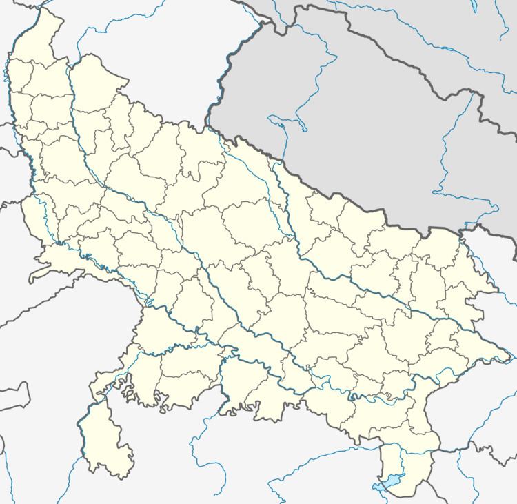
Map of Chhaprauli, Uttar Pradesh 250617
Geography
Chhaprauli is located at 29.22°N 77.18°E / 29.22; 77.18. It has an average elevation of 240 metres (787 feet).
As of 2001 India census, Chhaprauli had a population of 17,795. Males constitute 54% of the population and females 46%. Chhaprauli has an average literacy rate of 56%, lower than the national average of 59.5%; with male literacy of 66% and female literacy of 43%. 15% of the population is under 6 years of age.
Chhaprauli has a sizeable Jat population majorly Khokhar Gotra (which holds the traditional headman ship of Chaubisi Khap) have been dominating the politics of the region for a long time. The most prominent and popular personality related to this town is the late Chaudhary Charan Singh, The only true farmer’s leader who served the top post of the country as the prime minister in 1979-80. He started his successful political career from Chhaprauli Assembly in 1937.
