
Intercommunality Pays d’Issoudun Area 46.46 km² | Canton Lignières Population (2008) 866 Local time Saturday 4:14 PM | |
 | ||
Weather 9°C, Wind W at 19 km/h, 78% Humidity | ||
Chezal-Benoît is a commune in the Cher department in the Centre region of France.
Contents
Map of 18160 Chezal-Beno%C3%AEt, France
Geography
An area of lakes and streams, farming and forestry comprising a village and a couple of hamlets situated in the valley of the small river Mouzet, some 23 miles (37 km) southwest of Bourges at the junction of the D18 with the D65 and the D115 roads. The commune shares its western border with the department of Indre.
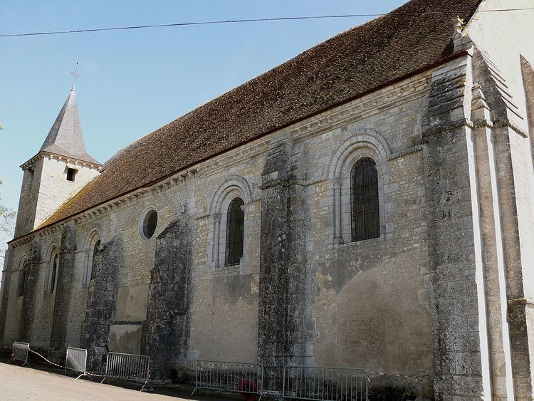
Sights
References
Chezal-Benoît Wikipedia(Text) CC BY-SA