
Major islands Chetlat Elevation 2 m Literacy 84.4% | Total islands 1 Highest elevation 2 m (7 ft) Area 117 ha Adjacent body of water Indian Ocean | |
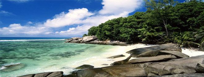 | ||
Chetlat Island (Malayalam: ചെത്ലാത്) is a coral island belonging to the Amindivi Subgroup of islands of the Lakshadweep archipelago in India. It has a distance of 1,933 km (1,201 mi) south of the city of Delhi.
Contents
Map of Chetlat
History
Local history says that islanders were cruelly treated by Portuguese seafarers in the past.
Coir twisting was the traditional occupation of the inhabitants and average Chetlat coir used to be equal to first-class coir of the other islands in Lakshadweep.
Geography
Chetlat is one of the populated islands of Lakshadweep. It is located 37 km to the northwest of Kiltan Island. The reef and lagoon are located to the west of the island and the total dry land area is 1.174 km2 (0.453 sq mi). There is a small scale yearly growing sand spit on the northern point of the island. It has a lagoon area of 3.79 km2 (1.46 sq mi).
Administration
Chetlat is the sole inhabited island of the township of Chetlat Island of Aminidivi Tehsil.
Economics
The inhabitants on the island are engaged in very small scale farming and fishing which are mainly for the island consumption.
Transportation
The island has a small jetty on the west coast and a helipad on southpoint.