
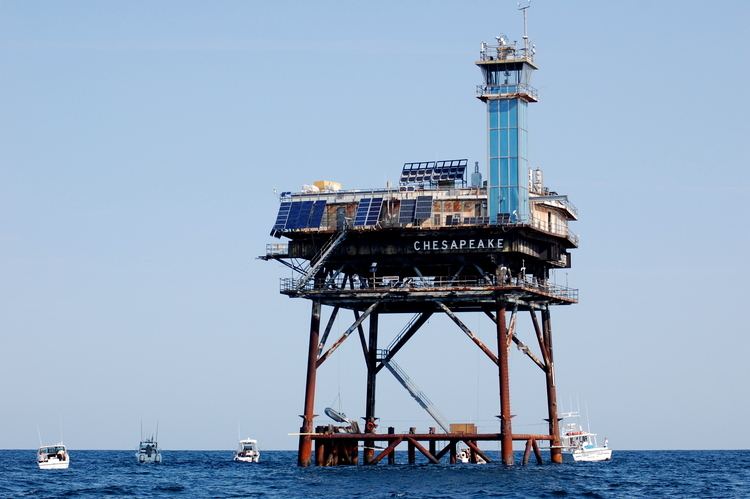
Year first lit 1965 Construction prefabricated modules Opened 1965 Focal height 36 m Material Steel | Foundation Four black piles Height 37 m Range 30,578 m Automated 1980 | |
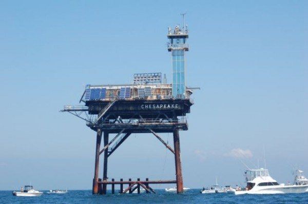 | ||
Location 16 mi east of Cape Henry, Virginia Tower shape White square platform with blue tower at one corner Characteristic Fl (2)W 15s 0.1s fl 2.9s ec. 0.1s fl 11.9s ec. Similar York Spit Light, Cape Henry, Cape Charles Light, New Point Comfort Light, Thimble Shoal Light | ||
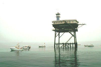
Chesapeake light tower substructure 24oct2012
Chesapeake Light is an offshore lighthouse marking the entrance to the Chesapeake Bay. Once considered for decommissioning, it remains active and supports atmospheric measurement sites for NASA and NOAA.
Contents
- Chesapeake light tower substructure 24oct2012
- How to catch spade fish at the chesapeake light tower jim baugh outdoors tv
- History
- Meteorological measurement site
- References
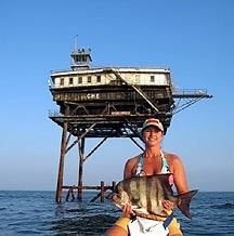
How to catch spade fish at the chesapeake light tower jim baugh outdoors tv
History
This station was established in 1930 using a lightship, since lighthouse construction technology at the time was not adequate to the task of supporting a light in such waters. It remained on station (except during World War II) until it was replaced by the present light, built in 1965 as one of six nearly identical "Texas Tower" lights on the East Coast. The United States lightship Chesapeake (LV-116), which was used at the site, is now on display at the Inner Harbor in Baltimore, Maryland.
The light was automated in 1980, and in 1997, it became a site for NASA to perform meteorological research (see below). In 2001, NASA sponsored a field mission at the lighthouse called the Chesapeake Lighthouse and Aircraft Measurements for Satellites (CLAMS). The CLAMS field mission involved six aircraft flying over the lighthouse to improve understanding of atmospheric aerosols, to validate and improve the satellite data products, and to test new instruments and measurement concepts.
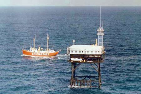
Chesapeake Light was used in 2002-2003 by University of Maryland, Baltimore County students for research projects. The following year it was inspected by the Coast Guard with an eye toward dismantling it, as had happened earlier to the Ambrose and Savannah lights, both of which had been struck by ships. The inspection showed the light to be sound, and the light remains in active service. Chesapeake Light is now the only Texas Tower still in use as an active navigational aid. There are two other nearly identical towers now in private hands: Diamond Shoal Light and Frying Pan Shoals Light.
Meteorological measurement site
For over a decade, the Chesapeake Light has hosted a suite of meteorological and climate-observing instruments that take measurements for NASA’s Clouds and the Earth's Radiant Energy System (CERES) project. The instrument suite, known as CERES Ocean Validation Experiment (COVE), records the direct beam energy from the sun, the sun’s energy scattered by the sky, the amount of sunlight scattered by the ocean surface, wind speed, aerosol composition, air temperature, sea surface temperature and more. The measurements validate observations made by the CERES satellite system, which is managed by NASA's Langley Research Center in Hampton, Virginia.
The collection of CERES instruments, which are mounted on several space-based satellites, has been operating for more than a decade, creating a long-term record of the key driver of Earth’s climate – the balance of incoming and outgoing solar radiation known as the “energy budget.”
The COVE instruments at the Chesapeake Light Station are uniquely located over an all ocean environment, and serve to validate the observations the CERES satellites make over the oceans. Validations over the ocean are important because three quarters of the Earth’s surface is water.
The COVE instrumentation is also part of an international network of satellite ground truth sites known as the Baseline Surface Radiation Network (BSRN).
Other meteorological and atmospheric instrumentation located at Chesapeake Light Station include the AErosol RObotic NETwork (AERONET), which is a ground-based, worldwide network that measures atmospheric aerosols. Chesapeake Light also hosts the Micro Pulse Lidar Network, which measures aerosol and cloud vertical structure, and NOAA's Ground-Based Global Positioning System Meteorology Network (GPS-MET) which measures atmospheric column water vapor.