
Sovereign state United Kingdom Region South East England Admin HQ Banbury | Constituent country England Non-metropolitan county Oxfordshire Area 588.8 km² | |
 | ||
Status Non-metropolitan district University Banbury and Bicester College Points of interest Bicester Village, Rousham House, Broughton Castle, Boarstall Tower, Boarstall Duck Decoy Destinations Banbury, Bicester, Kidlington, Deddington, Adderbury | ||
Cherwell (usually /ˈtʃɜːrwɛl/ CHUR-well, but /ˈtʃɑːrwɛl/ CHAR-well in Oxford) is a local government district in northern Oxfordshire, England. The district takes its name from the River Cherwell, which drains south through the region to flow into the River Thames at Oxford.
Contents
- Map of Cherwell UK
- Geography
- Transport
- Settlements in Cherwell district
- Recycling in Cherwell
- Food safety enforcement
- References
Map of Cherwell, UK
Towns in Cherwell include Banbury and Bicester. Kidlington is a contender for largest village in England.
The district was formed on 1 April 1974, under the Local Government Act 1972, by a merger of the municipal borough of Banbury, Bicester urban district, Banbury Rural District and Ploughley Rural District.
Geography
The Northern half of the Cherwell district consists mainly of soft rolling hills vallying down towards to River Cherwell, however the southern half of the district around Bicester is much flatter. Much of the district is soft rolling hills with the northwest of the district lying at the northern extremity of the Cotswolds.
Transport
Much of the district is within easy reach of the M40, with junctions 9, 10 and 11 in the district. It also has good rail links with London, Birmingham, Oxford and the South.
Settlements in Cherwell district
Recycling in Cherwell
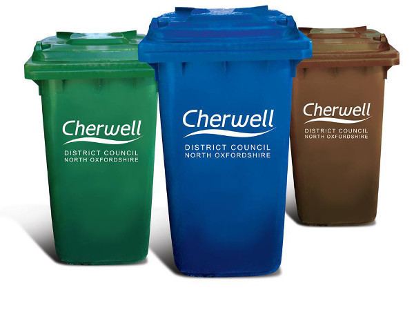
Cherwell district has one of the country's highest recycling rates at over 40% (2005). The district used to have a recycling rate of just 9%. This changed with the introduction of the blue box scheme for recycling paper, which has since grown to include plastic, cardboard and cans. Kidlington has its own freecycling group.
Food safety enforcement
Cherwell District came top of a Which? study that ranked 395 local authorities in Britain on their record of enforcement of food safety regulations.