
Population 238 (2006 census) Postcode(s) 5134 Founded 1840 Local time Saturday 7:30 PM | Established 1840 Elevation 493 m Postal code 5134 | |
 | ||
Weather 19°C, Wind SE at 14 km/h, 65% Humidity | ||
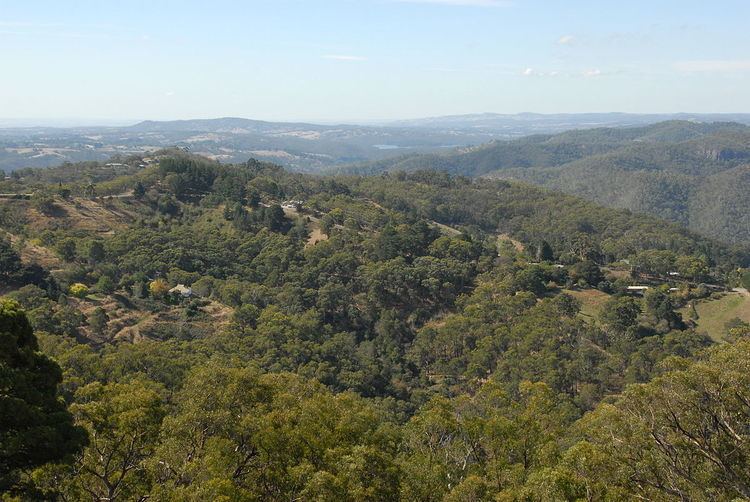
Cherryville is a small town in the Adelaide Hills, South Australia. It was named in around 1840 after the native cherry trees that grew in the area, although some historians claim that it was not named until 1892, when horticultural cherry plantings became widespread in the area. Prior to this, land holdings were typically of around 100 acres (40 ha) and used primarily for pastoralism or small-scale vegetable gardens. At the 2006 census, Cherryville had a population of 238.
Map of Cherryville SA 5134, Australia
Cherryville Post Office opened on 2 January 1899 and closed in 1974.
The town received national attention in May 2013 when the 2013 Cherryville bushfire burnt out 670 hectares (1,700 acres) of scrub and farmland surrounding the district. The fire was notable in that it occurred outside the fire-ban season, leading to calls to review the State's fire ban policy.