
Country United States FIPS code 36-013-15198 Elevation 398 m Population 1,118 (2010) | State New York Time zone Eastern (EST) (UTC-5) GNIS feature ID 0946509 Zip code 14723 | |
 | ||
Weather -8°C, Wind NW at 18 km/h, 71% Humidity Area 94.9 km² (94.87 km² Land / 3 ha Water) | ||
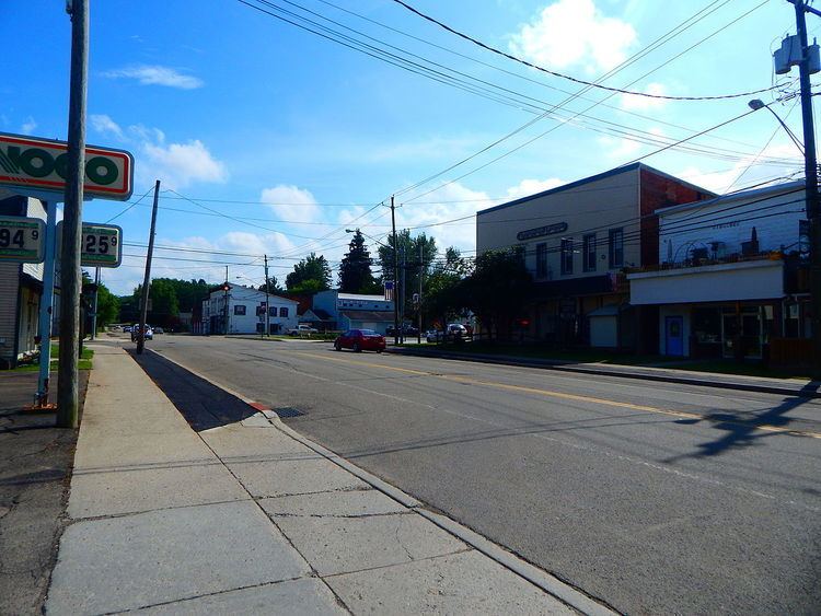
Cherry Creek is a town in Chautauqua County, New York, United States. The population was 1,118 at the 2010 census. The name is derived from that of a small stream that flows through the town amid many cherry trees.
Contents
Cherry Creek is situated on the east border of the county, northeast of Jamestown. There is also a village named Cherry Creek located within the town.
History
The community was first settled around 1815, and the town of Cherry Creek was formed in 1829 from part of the town of Ellington. The settlement got its name from a cherry tree planted by Holland Land Company surveyor Joshua Bentley to mark the center of the new town. The village, which was incorporated in 1893, voted on February 2, 2017 to dissolve into the surrounding town.
Geography
According to the United States Census Bureau, the town has a total area of 36.6 square miles (94.9 km2), of which 0.01 square miles (0.03 km2), or 0.04%, is water.
New York State Route 83 is a major north-south highway in the eastern half of the town. Chautauqua County Route 70 (the westernmost part of Leon Road) enters the town from the east. The New York and Lake Erie Railroad serves the town with freight and occasional passenger rail service; Chautauqua CARTS serves the town on its Sinclairville-to-Frewsburg line.
Cherry Creek is also the name of a stream that flows into Conewango Creek in the eastern part of the town.
Adjacent towns and areas
Cherry Creek is east of the town of Charlotte. It is south of the town of Villenova and north of the town of Ellington. Cherry Creek's east town line is shared by the town of Leon in Cattaraugus County.
Demographics
As of the census of 2000, there were 1,152 people, 413 households, and 315 families residing in the town. The population density was 31.5 people per square mile (12.1/km²). There were 498 housing units at an average density of 13.6 per square mile (5.3/km²). The racial makeup of the town was 97.14% White, 0.09% Black or African American, 0.17% Native American, 0.17% Asian, 0.09% Pacific Islander, 1.56% from other races, and 0.78% from two or more races. Hispanic or Latino of any race were 2.00% of the population.
There were 413 households out of which 38.0% had children under the age of 18 living with them, 57.1% were married couples living together, 10.9% had a female householder with no husband present, and 23.5% were non-families. 18.4% of all households were made up of individuals and 6.8% had someone living alone who was 65 years of age or older. The average household size was 2.77 and the average family size was 3.12.
In the town, the population was spread out with 29.9% under the age of 18, 7.5% from 18 to 24, 29.3% from 25 to 44, 22.7% from 45 to 64, and 10.6% who were 65 years of age or older. The median age was 36 years. For every 100 females there were 103.2 males. For every 100 females age 18 and over, there were 100.7 males.
The median income for a household in the town was $36,146, and the median income for a family was $36,250. Males had a median income of $30,089 versus $22,857 for females. The per capita income for the town was $14,980. About 11.4% of families and 14.0% of the population were below the poverty line, including 22.4% of those under age 18 and 12.9% of those age 65 or over.