
Country United States Elevation 1,568 m | Time zone Mountain (MST) (UTC-7) Local time Saturday 1:53 AM | |
 | ||
Weather 3°C, Wind N at 6 km/h, 61% Humidity | ||
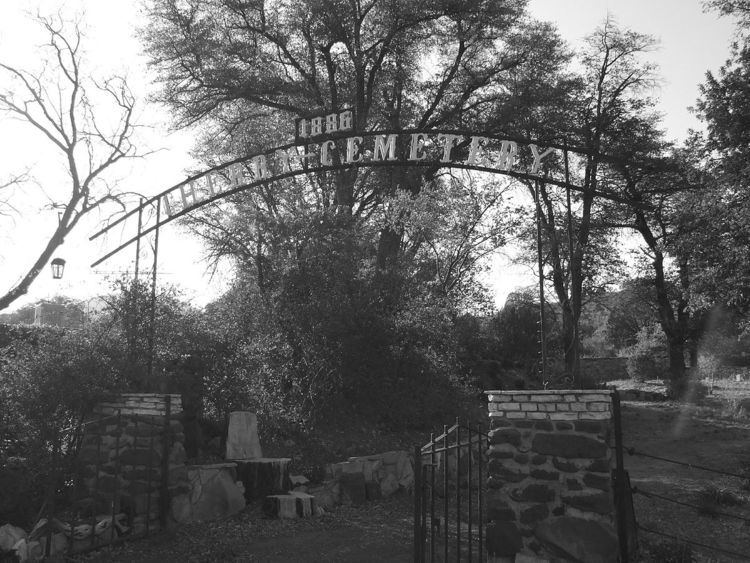
Cherry is a mining ghost town in central Yavapai County, Arizona, United States, between Dewey and Camp Verde, located at an elevation of 5143 feet.
Contents
Map of Cherry, Arizona 86327, USA
History
Cherry's post office was established March 3, 1884 and discontinued March 15, 1943. Notable mines in the area include the Federal, Bunker, Sunnybrook, Logan and Gold Bullion mines. About 400 people lived and worked in Cherry during its prime. At present, Cherry is a small retirement and vacation-home community. A number of the original buildings are still in use. The Cherry cemetery has several graves from the late 19th and early 20th centuries.
References
Cherry, Arizona Wikipedia(Text) CC BY-SA