
Country United States Elevation 283 m Local time Saturday 2:04 AM | GNIS feature ID 0469617 Area 57.5 km² Population 336 (2000) | |
 | ||
Weather 10°C, Wind S at 23 km/h, 44% Humidity | ||
Cherokee Township is a township in Cherokee County, Kansas, USA. As of the 2000 census, its population was 336.
Contents
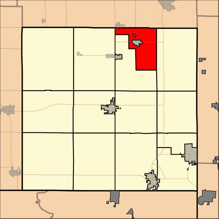
Map of Cherokee, KS, USA
Geography
Cherokee Township covers an area of 22.2 square miles (57 km2) surrounding the incorporated settlement of Weir. According to the USGS, it contains three cemeteries: Council Corners, New Pleasant View and Saint Anthony.
References
Cherokee Township, Cherokee County, Kansas Wikipedia(Text) CC BY-SA