
Rural administrations 8 Area 14,192 km² | Federal subject Republic of Kalmykia Rural localities 35 | |
 | ||
Administrative center settlement of Komsomolsky Municipally incorporated as | ||
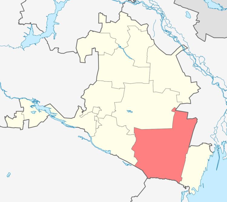
Chernozemelsky District (Russian: Черноземе́льский райо́н; Kalmyk: Хар Һазра район) is an administrative and municipal district (raion), one of the thirteen in the Republic of Kalmykia, Russia. It is located in the southeast of the republic. The area of the district is 14,191.68 square kilometers (5,479.44 sq mi). Its administrative center is the rural locality (a settlement) of Komsomolsky. As of the 2010 Census, the total population of the district was 13,258, with the population of Komsomolsky accounting for 34.1% of that number.
Contents
Map of Chernozemelsky District, Kalmykia, Russia
History
The district was established in 1951.
Administrative and municipal status
Within the framework of administrative divisions, Chernozemelsky District is one of the thirteen in the Republic of Kalmykia. The district is divided into eight rural administrations which comprise thirty-five rural localities. As a municipal division, the district is incorporated as Chernozemelsky Municipal District. Its eight rural administrations are incorporated as eight rural settlements within the municipal district. The settlement of Komsomolsky serves as the administrative center of both the administrative and municipal district.