
Country Ukraine Raion Horodenka Raion Area 30.4 km² Population 1,648 (2016) | Oblast Ivano-Frankivsk Oblast Area code(s) (+380) 3430 Local time Saturday 9:23 AM | |
 | ||
Weather 3°C, Wind SE at 10 km/h, 75% Humidity | ||
Chernelytsia (Ukrainian: Чернелиця; Polish: Czernelica) is an Urban-type settlement in Horodenka Raion in Ivano-Frankivsk Oblast. Its population was 1,648 (2016 est.).
Contents
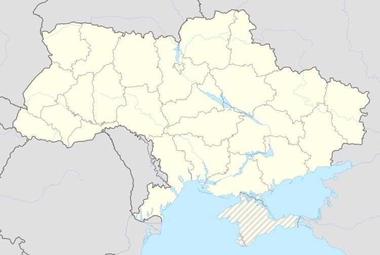
Map of Chernelytsya, Ivano-Frankivska, Ukraine
Location
Chernelytsia is located south of the Dniester on the Dolzhok River.
History
Between 1772 and 1918 it was part of Austrian Galicia. After the end of World War I Chernelytsia became part of Horodenka Powiat in Stanisławów Voivodeship, part of Poland. In 1939 it was annexed by the Soviet Union. In 1940 it became an urban-type settlement.
Chernelytsia was occupied by German troops during World War II from 1941 to 1944, part of the District of Galicia.
References
Chernelytsia Wikipedia(Text) CC BY-SA