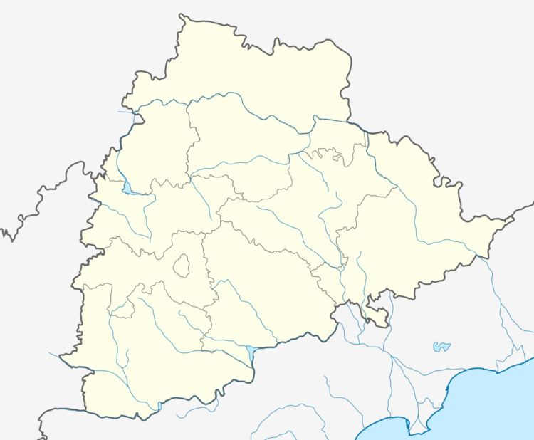
Country India District Khammam Vehicle registration TS Elevation 78 m | State Telangana Time zone IST (UTC+5:30) Website telangana.gov.in | |
 | ||
Cherla is a mandal in Khammam district. It is located on the banks of River Godavari. Prior to Nov,30'1959, Cherla was a part of Bhadrachalam constancy in khammam District.
Contents
Map of Cherla, Telangana 507133
Geography
Cherla is located on the banks of River Godavari at 18°04′30″N 80°49′37″E. It has an average elevation of 78 metres (259 ft).it is a small town near godavari river and also near taliperu tributary which is a small tributary of godavari river
Population and literacy
Cherla has a population of 2,00,000 of which 42.9% are literates (2012 census).
Irrigation profile
References
Cherla Wikipedia(Text) CC BY-SA
