
Country Canada Area 187.9 km² | Time zone MST (UTC-7) Local time Saturday 12:06 AM | |
 | ||
Weather -4°C, Wind N at 8 km/h, 95% Humidity | ||
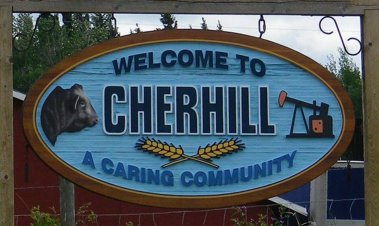
Cherhill is a hamlet in Alberta, Canada within Lac Ste. Anne County. It is located along Highway 43, approximately 35 kilometres (22 mi) east of Mayerthorpe and 82 kilometres (51 mi) northwest of Edmonton.
Contents
Map of Cherhill, AB, Canada
The hamlet is located in census division No. 13.
The first syllable of the Cherhill's name is derived from the last syllable of the name of A. P. Stecher, an early postmaster.
Demographics
Statistics Canada has not recently published a population for Cherhill.
However, Industry Canada shows that Cherhill's greater rural area had a total population of 393 living in 176 dwellings in 2001. With a land area of 187.91 km2 (72.55 sq mi), its greater rural area has a population density of 2.1/km2 (5.4/sq mi).
References
Cherhill, Alberta Wikipedia(Text) CC BY-SA