
Time zone ETZ (UTC-5) Area 7,309 km² Population 27,461 (2000) | Founded 1896 Local time Saturday 1:24 AM | |
 | ||
Weather 26°C, Wind N at 8 km/h, 85% Humidity Points of interest Puerto Piña, Cerro Chucantí, Reserva Hidrológica Filo del Tallo | ||
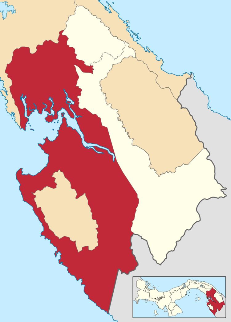
Chepigana District ([tʃepiˈɣana]) is a district (distrito) of Darién Province in Panama. The population according to the 2000 census was 27,461.The district covers a total area of 7,309 km². The capital lies at the city of La Palma.
Contents
Map of Chepigana District, Panama
Administrative divisions
The district is divided administratively into the following corregimientos:
La Palma (capital), Camoganti, Chepigana, Garachiné, Jaqué, Puerto Piña, Río Congo, Río Iglesias, Sambú, Setegantí, Taimatí, Tucutí, Agua Fría, Cucunatí, Río Congo Arriba and Santa Fe.
References
Chepigana District Wikipedia(Text) CC BY-SA