
Population 1,174 (2011) Civil parish Chelford Local time Saturday 1:07 AM | OS grid reference SJ814749 Unitary authority Dialling code 01625 | |
 | ||
Weather 8°C, Wind SE at 13 km/h, 91% Humidity | ||
Chelford road prestbury cheshire 5 95m
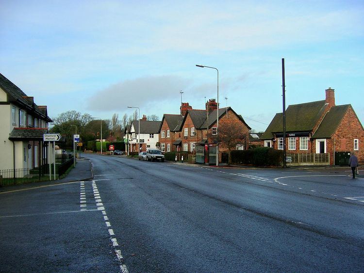
Chelford is a village and civil parish in Cheshire, England, near to the junction of the A537 and A535 roads six miles (10 km) west of Macclesfield and six miles south-east of Knutsford. It is served by Chelford railway station on the line between Crewe and Manchester. At the 2011 census, Chelford had a population of 1,174.
Contents
Map of Chelford, UK
Chelford is near the Capesthorne Estate and surrounded by farmland. Local amenities include St John's church, the burial place of former world champion racing cyclist Reg Harris and the venue for an annual cyclists' Christmas Carol service, a post office and a pub/restaurant, The Egerton Arms.
References
Chelford Wikipedia(Text) CC BY-SA