
 | ||
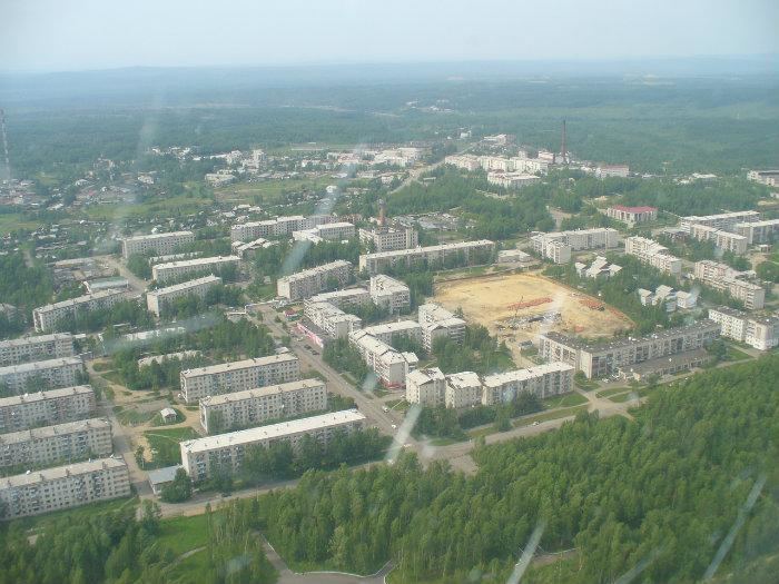
Chegdomyn (Russian: Чегдомын) is an urban locality (a work settlement) and the administrative center of Verkhnebureinsky District of Khabarovsk Krai, Russia. Population: 13,048 (2010 Census); 15,303 (2002 Census); 20,347 (1989 Census).
Contents
Map of Chegdomyn, Khabarovskiy Kray, Russia, 682031
Geography
The settlement is situated in the Bureya River basin, just north of the Baikal-Amur Mainline (BAM). A branch line connects Chegdomyn to Novy Urgal on the BAM. It is located in the valley of the Chegdomyn River, near its confluence with the Urgal. Chegdomyn is located about 340 kilometers (210 mi) northwest of the krai's administrative center of Khabarovsk.
History
It was founded in 1939, with the beginning of black coal mining in the area. At the same time, construction of a branch line from the Trans-Siberian Railway at Isvestkovaya to Chegdomyn was begun, although it was dismantled during World War II and its tracks reused in construction projects closer to the front.
After the end of the war, the railway was rebuilt, opening in 1951. Coal mining resumed in 1948, and Chegdomyn was granted urban-type settlement status in 1949.
Economy
The settlement's main industry remains coal mining by Urgalugol, now owned by the Siberian Coal Energy Company. There is also some timber production in the surrounding area.
Transportation
Chegdomyn is the terminus of a 356-kilometer (221 mi) long branch railway from the station Isvestkovaya on the Trans-Siberian Railway.