
Canton Antrain Area 17.71 km² | Arrondissement Fougères-Vitré Intercommunality Antrain Local time Friday 9:38 PM | |
 | ||
Weather 11°C, Wind SW at 14 km/h, 82% Humidity | ||
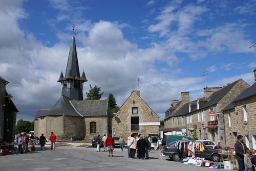
Chauvigné (Breton: Kelvinieg, Gallo: Chauveinyaé) is a commune in the Ille-et-Vilaine department in Brittany in northwestern France.
Contents
Map of 35490 Chauvign%C3%A9, France
Geography
Chauvigné is located at 38 km (24 mi) northeast of Rennes and 30 km (19 mi) south of the Mont Saint-Michel.
The communes bordering are Tremblay, Saint-Marc-le-Blanc, Le Tiercent, Saint-Christophe-de-Valains, Vieux-Vy-sur-Couesnon and Romazy.
Population
Inhabitants of Chauvigné are called Chauvignéens in French.
References
Chauvigné Wikipedia(Text) CC BY-SA