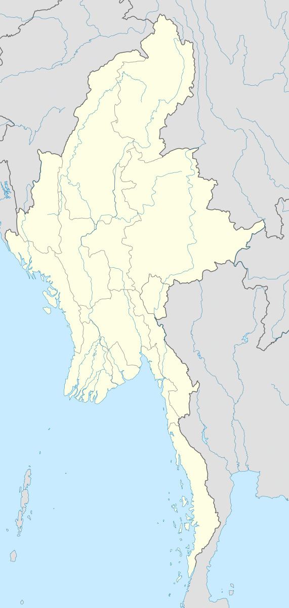
Country Burma District Pyin Oo Lwin District Time zone MMT (UTC+6:30) | Division Mandalay Division Township Mogok Township Elevation 223 m | |
 | ||
Chaunggyi, also known as Chaung Gyi and Chaung-gyi, is a village in Mogok Township, Pyinoolwin District, Mandalay Division, Myanmar.
Contents
Map of Chaung Gyi, Myanmar (Burma)
Geography
The Chaunggyi valley is located about 3,5 km northeast of Letha Taung, also known as the Singu Plateau, near National Highway 31. In the valley there are Lisu (at Lezawchaunggyi), Palaung (at Palaungchaunggyi), Shan and Gurkha ethnic minorities living in separate villages.
References
Chaunggyi Wikipedia(Text) CC BY-SA
