
Area 243.7 km² | Time zone BST (UTC+6) | |
 | ||
Website Official Map of Chauhali | ||
Chauhali (Bengali: চৌহালি) is an Upazila of Sirajganj District in the Division of Rajshahi, Bangladesh.
Contents
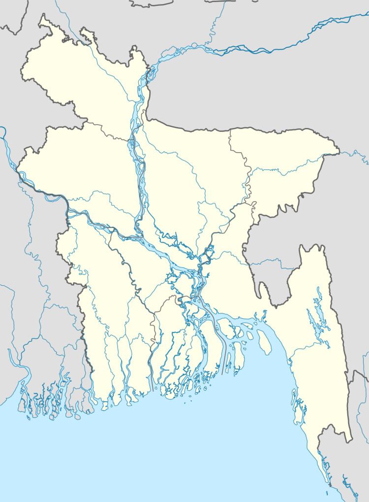
Map of Chauhali Upazila, Bangladesh
Geography
Chauhali is located at 24.2111°N 89.7208°E / 24.2111; 89.7208 . It has 19899 households and total area 243.67 km².
Demographics
As of the 1991 Bangladesh census, Chauhali has a population of 108459. Males constitute 51.37% of the population, and females 48.63%. This Upazila's eighteen up population is 52185. Chauhali has an average literacy rate of 23.1% (7+ years), and the national average of 32.4% literate.
Administration
Chauhali has 7Unions 1.Saudia Chandpur Population 19035 (Male-9683,Female-9352),2.Sthal Char Population 11391(Male-5787,Female-5604),3.Ghorjan Population 9945(Male-4890,Female-5055),4.Umarpur Population 18621 (Male-9151,Female-9470),5.Khaskaualia Population 11938( Male-5933,Female-6005),6.Khaspukuria Population 9763 (Male-4827 ,Female-4936),7.Baghutia Total Voter 15617(Male-7747,Female-7870), 153 Mauzas/Mahallas, and 101 villages.
written by Monirul Islam