
Population 1,043 (2011 census) Local time Saturday 5:16 AM | Postcode(s) 4570 Postal code 4570 | |
 | ||
Weather 22°C, Wind SE at 8 km/h, 95% Humidity | ||
Chatsworth is a town located about 7.5 kilometres (5 mi) north-northwest of Gympie, Queensland, Australia. At the 2011 census, Chatsworth and the surrounding area had a population of 1,043.
Map of Chatsworth QLD 4570, Australia
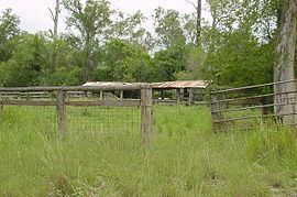
Historically, the suburb was mostly used for dairy farming, but is now predominantly used for residential land. The area was once part of the Shire of Cooloola a former local government area.
There is a small primary school servicing the district. Fishermans Pocket State Forest occupies a large section of the south west of Chatsworth.
References
Chatsworth, Queensland Wikipedia(Text) CC BY-SA