
Time zone GMT +5 (UTC+5) Local time Saturday 1:00 AM | Area 4,608 km² Population 22,490 (2009) | |
 | ||
Weather -8°C, Wind SE at 6 km/h, 86% Humidity | ||
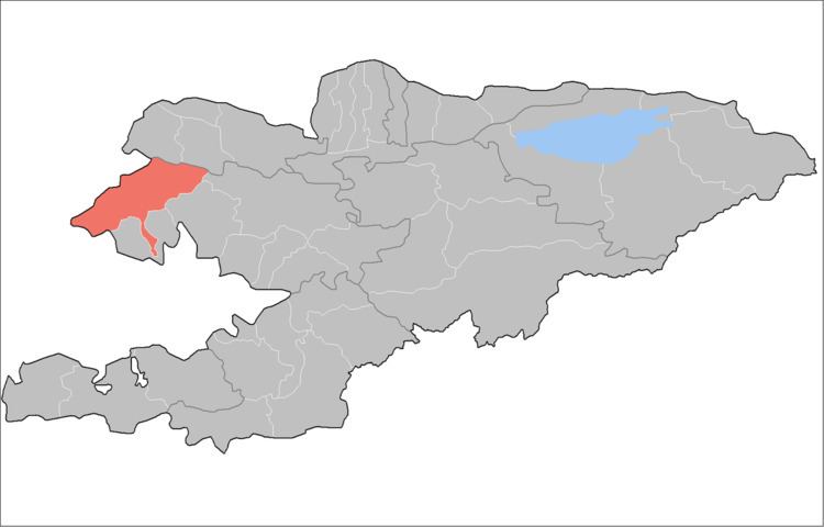
Chatkal is a raion (district) of Jalal-Abad Region in western Kyrgyzstan. The capital lies at Kanysh-Kyya. Its area is 4,608 square kilometres (1,779 sq mi), and its resident population was 22,490 in 2009.
Contents
Map of Chatkal, Kyrgyzstan
Urban-type settlements, rural communities and villages
In total, Chatkal District includes 4 rural communities (aiyl okmotus). Each rural community can consist of one or several villages. The rural communities and settlements in the Chatkal District are:
- Kanysh-Kyya aiyl okmotu (center - village Kanysh-Kyya, and also villages Aygyr-Jar, Bashky-Terek, Korgon-Say, Kyzyl-Tokoy, Chakmak-Suu)
- Jangy-Bazar aiyl okmotu (center - village Jangy-Bazar, and also villages Ak-Tash, Kurulush)
- Sumsar rural community (Sumsar)
- Terek-Say rural community (Terek-Say)
References
Chatkal District Wikipedia(Text) CC BY-SA