
Location Bay of Bengal Adjacent bodies of water Indian Ocean Major islands Chatham Elevation 0 cm Literacy 84.4% Area code 031927 Adjacent body of water Indian Ocean | Archipelago Andaman Islands Total islands 1 Length 0.2 km (0.12 mi) Area 9 ha Postal code 744101 Island group Andaman Islands | |
 | ||
Chatham Island is an island of the Andaman Islands. It belongs to the South Andaman administrative district, part of the Indian union territory of Andaman and Nicobar Islands. the island is lying 3 km (2 mi) north of downtown Port Blair.
Contents
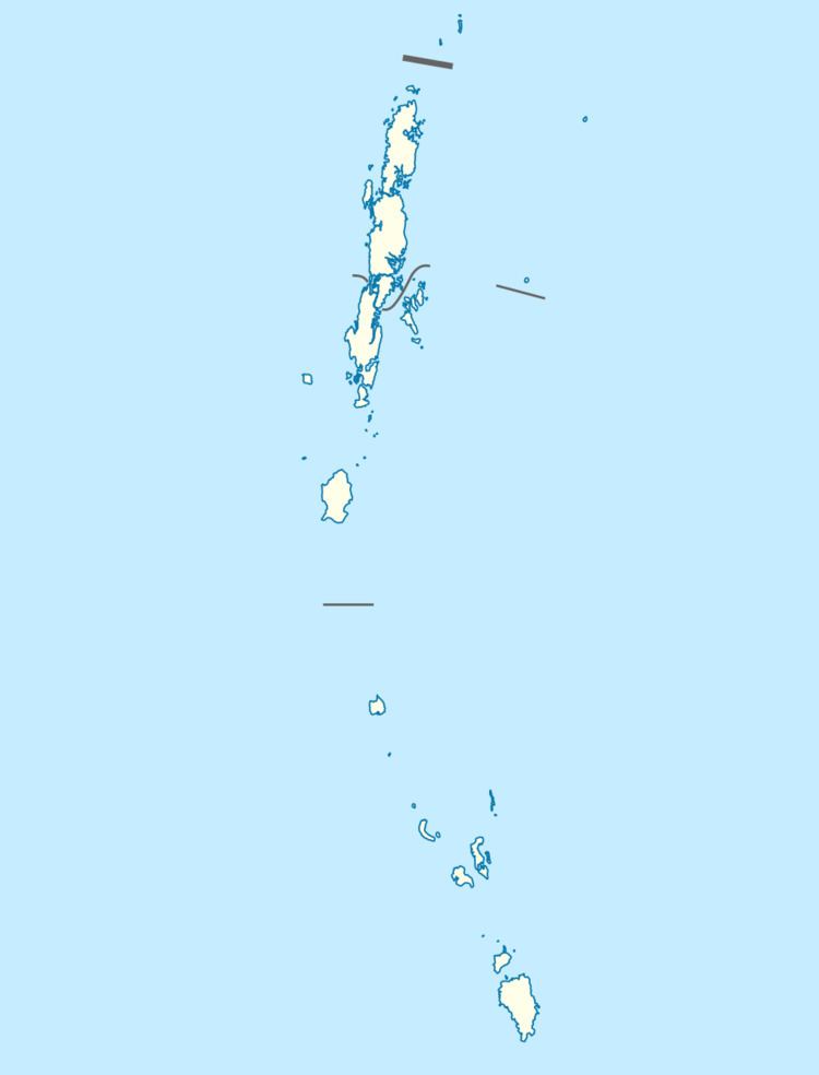
- Map of Chatham Island Port Blair Andaman and Nicobar Islands
- History
- Geography
- Administration
- References
Map of Chatham Island, Port Blair, Andaman and Nicobar Islands
History
This is the island where the earliest settlement in Andamans began. In 1883, the British established the Chatham Saw Mill. in 1990, the Indians built the Forest museum, where you get insight on the forest team activities, and has displays on the history of timber milling on the island.
Geography
The island belongs to the Port Blair Islands and lies in the middle of Port Meadows.
Administration
Politically, Chatham Island, along neighboring Port Blair Islands, are part of Port Blair Taluk.
References
Chatham Island (Andaman and Nicobar Islands) Wikipedia(Text) CC BY-SA