
Elevation 70 m Population 2,701 (2001) | State Andhra Pradesh Time zone IST (UTC+5:30) Local time Friday 11:53 PM | |
 | ||
Weather 23°C, Wind S at 6 km/h, 64% Humidity | ||
Chatakonda is a census town in Khammam district in the state of telangana, India.
Contents
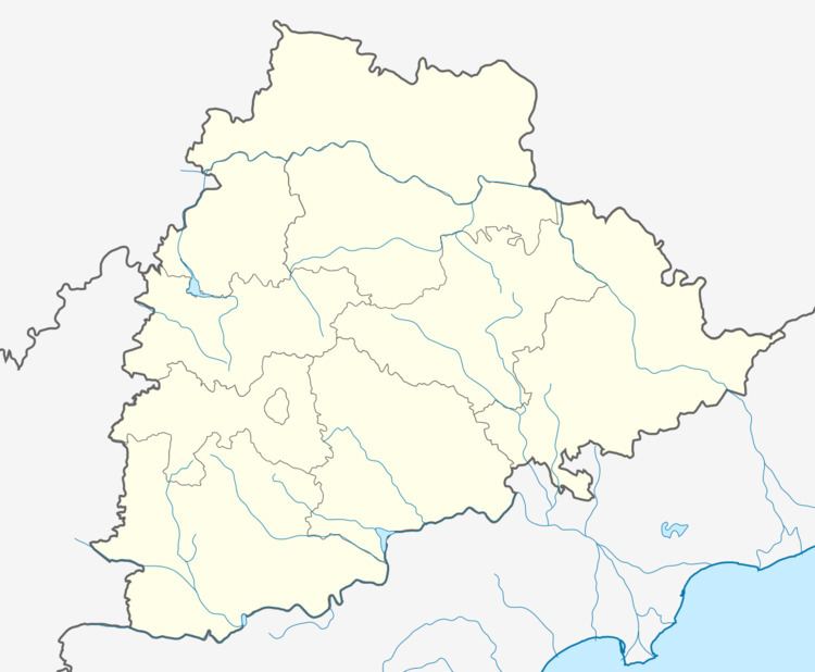
Map of Chatakonda, Telangana 507101
Geography
Chatakonda is located at 17.55°N 80.65°E / 17.55; 80.65. It has an average elevation of 70 metres (229 feet).
Demographics
As of 2001 India census, Chatakonda had a population of 8701. Males constitute 50% of the population and females 50%. Chatakonda has an average literacy rate of 55%, lower than the national average of 59.5%; with male literacy of 62% and female literacy of 48%. 13% of the population is under age six.
References
Chatakonda Wikipedia(Text) CC BY-SA