
Highest elevation 1,400 m (4,600 ft) Time zone EET (UTC+2) Area 9.8 km² Area code +961 | Lowest elevation 750 m (2,460 ft) Elevation 1,100 m Local time Friday 6:07 PM | |
 | ||
Weather 6°C, Wind SW at 14 km/h, 96% Humidity | ||
Charoun or Sharoun (Arabic: شارون), is a Lebanese Druze village located in the Aley District. Charoun is 31 kilometers away from Beirut and neighbors the town Saoufar. Its name derives from the Aramaic languages meaning the agricultural hills. Charoun is from the Jurd region, with an 1100 m altitude. It accounts two schools, one public school and one private school. Charoun has two industries with 5 or more workers. Charoun is one of the biggest villages in the Aley District (9.8 square km).
Contents
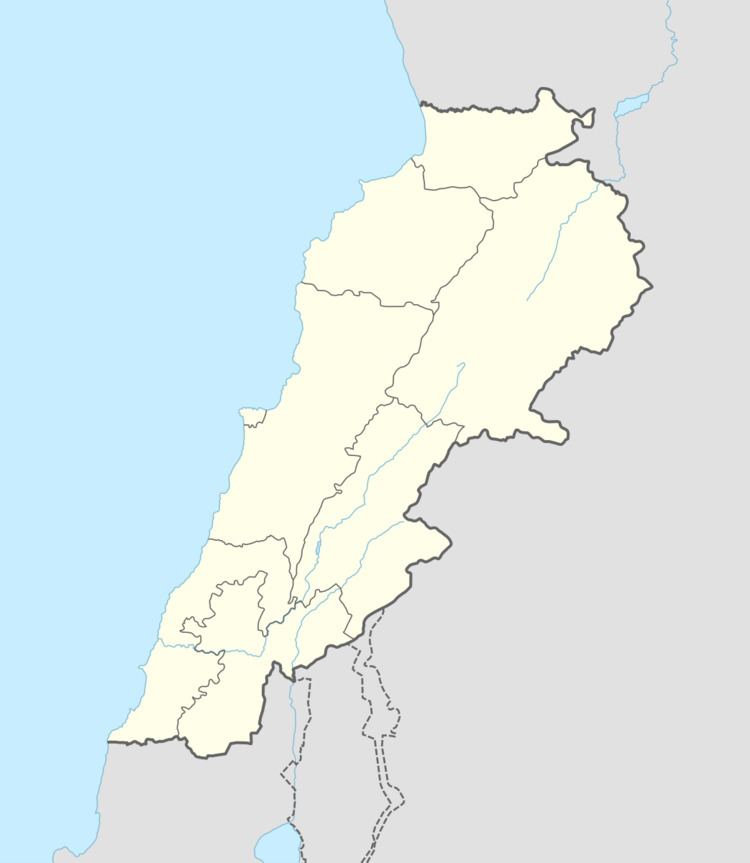
Map of Charoun, Lebanon
Climate
The town receives heavy snow during the wintertime, which may reach a level higher than one metre high after particularly bad storms. Temperatures usually drop to less than zero during the months of December and January. Charoun is also known for its abundance in water like the Nahr Charoun and the historical Ain Bou-Freez, a 1030-year-old natural fountain. It also holds an important place in the Druze faith, as it contains two Druze maqams: Al maqam al shariff and the Sitt Sara maqam.
Families
There are three major families in Charoun: Ahmadie, Sayegh and Al-Banna. There are also three minor families: Dimashqi, Abdel-Khalek and Abou Hamdan. It's the hometown of many important persons in Lebanon: the writer Nidal Ahmadie, the composer Ziad Ahmadie, the urologist Dr Nabil Ahmadie and Wajdi Sayegh, the first martyr in the Lebanese National Resistance Front for the Syrian Socialist National Party.