
Country Algeria Time zone CET (UTC+1) Population 11,347 (2008) Province Adrar Province | District Charouine Elevation 266 m Local time Friday 5:06 PM | |
 | ||
Weather 28°C, Wind S at 8 km/h, 12% Humidity | ||
Charouine (Arabic: ﺷﺮوﻳﻦ) is a town and commune, and capital of Charouine District, in Adrar Province, south-central Algeria. According to the 2008 census it has a population of 11,347, up from 8,678 in 1998, with an annual growth rate of 1.8%.
Contents
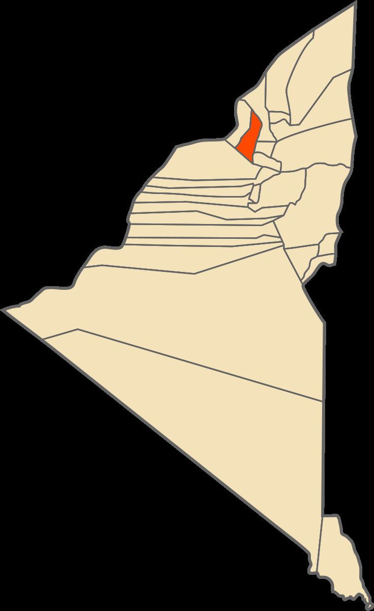
Map of Charouine, Algeria
Geography
Charouine lies at an elevation of 285 metres (935 ft) near an oasis, part of the Gourara region of northern Adrar Province. Groves of trees are found around the main town; to the north-west the terrain is dominated by rocky areas and sand dunes, while to the south-east near the village of Taguelzi the terrain falls away dramatically, featuring cliffs up to 50 metres (160 ft) high.
Climate
Charouine has a hot desert climate (Köppen climate classification BWh), with extremely hot summers and mild winters, and very little precipitation throughout the year.
Transportation
Charouine lies on the N51 national highway that connects the N6 national highway in the southwest to the N1 national highway further east (in southern Ghardaïa Province). The N6 national highway then leads north to Béchar and south to Adrar, while the N1 leads north to Ghardaïa and south to Tamanrasset. The town of Timimoun is located about 60 kilometres (37 mi) to the east, also on the N51, while the provincial capital Adrar is about 150 kilometres (93 mi) to the south by road.
Education
2.8% of the population has a tertiary education, and another 8.4% has completed secondary education. The overall literacy rate is 54.2%, and is 71.8% among males and 35.0% among females.
Localities
As of 1984, the commune was composed of ten localities: