
Country Thailand Time zone THA (UTC+7) Geocode 4716 Province Sakon Nakhon Province | Seat Charoen Sin Postal code 47290 Area 401 km² Population 42,375 (2005) | |
 | ||
Charoen Sin (Thai: เจริญศิลป์) is a district (Amphoe) of Sakon Nakhon Province, northeast Thailand.
Contents
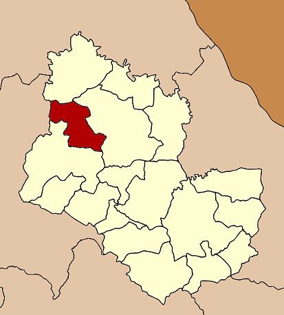
Map of Charoen Sin District, Sakon Nakhon, Thailand
Geography
Neighboring districts are (from the north clockwise) Ban Muang, Wanon Niwat and Sawang Daen Din of Sakon Nakhon Province, and Ban Dung of Udon Thani Province.
History
The minor district (King Amphoe) Charoen Sin was established on February 15, 1988, when five tambon were split off from Sawang Daen Din district. It was upgraded to a full district on July 4, 1994.
Administration
The district is subdivided into 5 subdistricts (tambon), which are further subdivided into 52 villages (muban). The subdistrict municipality (thesaban tambon) Charoen Sin covers parts of the tambon Charoen Sin and Thung Kae. There are further 5 Tambon administrative organizations (TAO).
References
Charoen Sin District Wikipedia(Text) CC BY-SA