
Population (2008) 226 Local time Friday 4:21 PM | Canton Nérondes Area 25.66 km² | |
 | ||
Weather 18°C, Wind S at 19 km/h, 50% Humidity | ||
Charly is a commune in the Cher department in the Centre region of France.
Contents
Map of 18350 Charly, France
Geography
A farming area comprising a village and a couple of hamlets situated some 20 miles (32 km) southeast of Bourges at the junction of the N76 with the D91 and the D6 roads. Ancient quarries here provided the stone for the cathedral of Bourges.
The river Airain forms most of the commune's northwestern boundary.
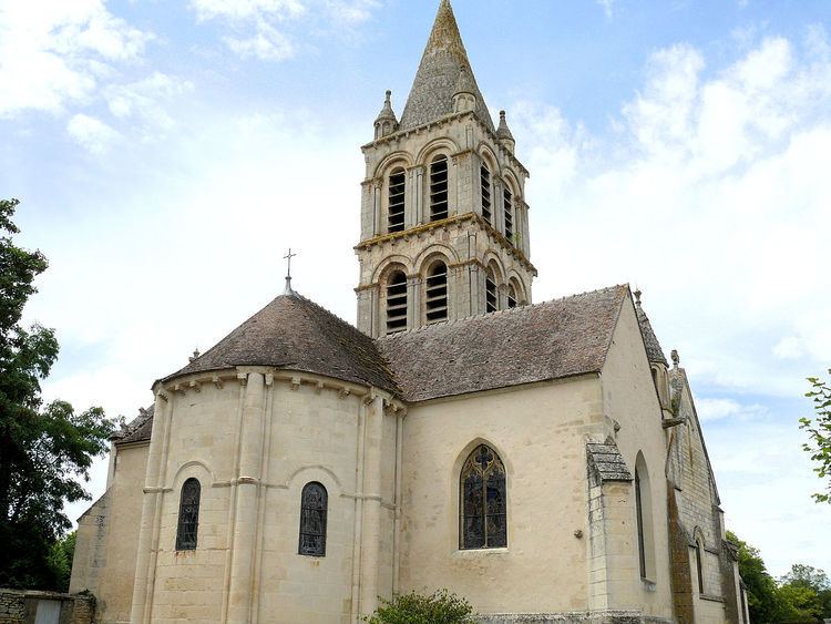
Sights
References
Charly, Cher Wikipedia(Text) CC BY-SA