
OS grid reference SP528360 Post town BANBURY Local time Friday 3:14 PM | Sovereign state United Kingdom Postcode district OX17 | |
 | ||
Weather 9°C, Wind SE at 16 km/h, 95% Humidity | ||
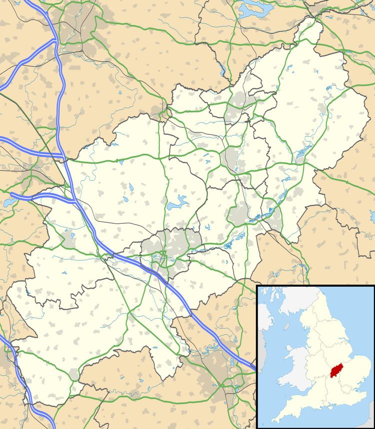
Charlton is a village in the parish of Newbottle, Northamptonshire, England in between Brackley and Kings Sutton, lying close to a small tributary of the River Cherwell. It is a small village with a population about 200. At the 2011 census the population was included in the civil parish of Newbottle.
Map of Charlton, Banbury, UK
Other nearby villages include Croughton, Aynho and Hinton-in-the-Hedges. The remains of an iron age fort, Rainsborough Camp, lie just to the south of the village.
Lawyer-statesman F.E. Smith, 1st Earl of Birkenhead lived in the village, took from it his second peerage title as Viscount Furneaux of Charlton, and his ashes are buried in the churchyard.
References
Charlton, Northamptonshire Wikipedia(Text) CC BY-SA