
ZIP code 46117 Local time Friday 10:00 AM | Time zone Eastern (EST) (UTC-5) Elevation 287 m | |
 | ||
Weather -3°C, Wind NW at 26 km/h, 57% Humidity | ||
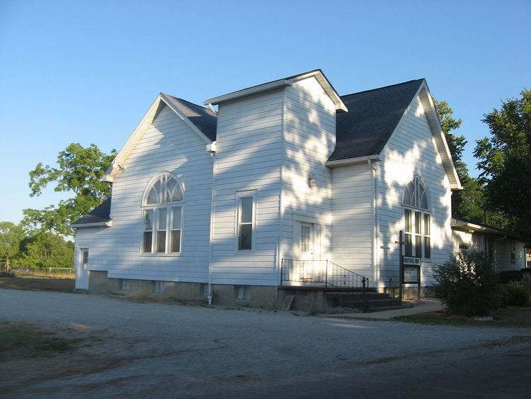
Charlottesville is an unincorporated community in Hancock and Rush counties in the U.S. state of Indiana. The Hancock County portion is in Jackson Township, while the Rush County portion is in Ripley Township.
Contents
Map of Charlottesville, IN, USA
History
Charlottesville was laid out and platted in 1830. The community's name most likely was a transfer from Charlottesville, Virginia. It was for a time incorporated as a town, from 1867.
The Charlottesville post office has been in operation since 1831.
Geography
Charlottesville is located at 39°47′25″N 85°36′46″W.
Transportation
Major Roads
U.S. Route 40
Education
Eastern Hancock Community School Corporation services the towns of Charlottesville, Wilkinson, Shirley, Warrington, and surrounding areas in eastern Hancock County. It consists of one elementary school (Grades K - 5), one middle school (Grades 6 - 8), and one high school (Grades 9 - 12).