
Country United States GNIS feature ID 489364 Local time Friday 6:50 AM | Time zone Central (CST) (UTC-6) Elevation 162 m | |
 | ||
Weather -1°C, Wind NW at 5 km/h, 88% Humidity | ||
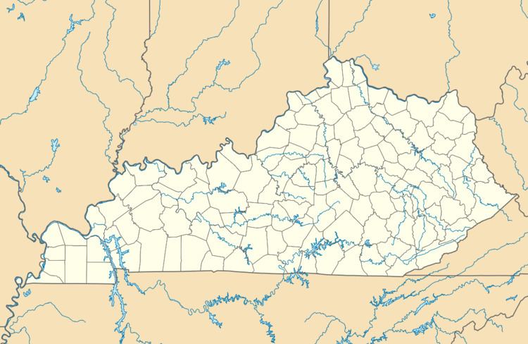
Charleston is an unincorporated community in southwestern Hopkins County, Kentucky, United States.
Map of Charleston, KY 42408, USA
According to legend, it was named for "Free Charles", a former slave, who kept a tavern there. A Charleston post office was in operation from 1855 to 1909.
References
Charleston, Kentucky Wikipedia(Text) CC BY-SA