
Vehicle registration WB Local time Friday 11:16 AM | Time zone IST (UTC+5:30) Lok Sabha constituency Jangipur Population 5,878 (2001) | |
 | ||
Weather 31°C, Wind NW at 10 km/h, 37% Humidity | ||
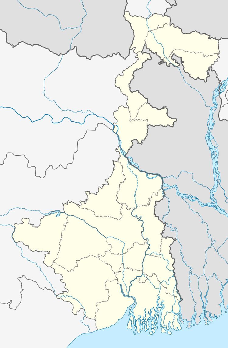
Charka is a census town in Raghunathganj I CD Block in Jangipur subdivision of Murshidabad district in the state of West Bengal, India.
Contents
Map of Charka, West Bengal
Geography
Charka is located at 24.45°N 88.09°E / 24.45; 88.09.
Demographics
As of 2001 India census, Charka had a population of 5878. Males constitute 45% of the population and females 55%. Charka has an average literacy rate of 41%, lower than the national average of 59.5%; with male literacy of 50% and female literacy of 35%. 20% of the population is under 6 years of age.
References
Charka, Jangipur Wikipedia(Text) CC BY-SA