
Area 111 km² | Time zone BST (UTC+6) | |
 | ||
Website Rajibpur.gif Official Map of Char Rajibpur | ||
Char Rajibpur (Bengali: চর রাজিবপুর) is an Upazila of Kurigram District in the Division of Rangpur, Bangladesh.
Contents
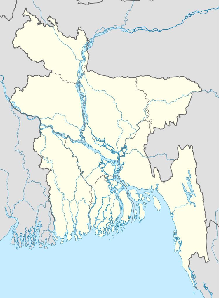
Map of Char Rajibpur Upazila, Bangladesh
Geography
Char Rajibpur is located at 25.4000°N 89.6917°E / 25.4000; 89.6917. It has 11,124 households and a total area 111.03 km².
Demographics
As of the 1991 Bangladesh census, Char Rajibpur has a population of 58,049, with 27,533 over the age of 18. Males constitute 49.54% of the population, and females 50.46%. Char Rajibpur has an average literacy rate of 16.4% (7+ years), compared to the national average of 32.4% literate.
Administration
Char Rajibpur has 3 Unions/Wards, 26 Mauzas/Mahallas, and 72 villages.
References
Char Rajibpur Upazila Wikipedia(Text) CC BY-SA