
District Barddhaman Website bardhaman.gov.in Population 5,358 (2011) | Time zone IST (UTC+5:30) Local time Friday 8:09 AM | |
 | ||
Weather 24°C, Wind W at 5 km/h, 56% Humidity | ||
Chapui is a census town in Raniganj CD Block and is served by Asansol North police station in Asansol subdivision of Barddhaman district in the state of West Bengal, India.
Contents
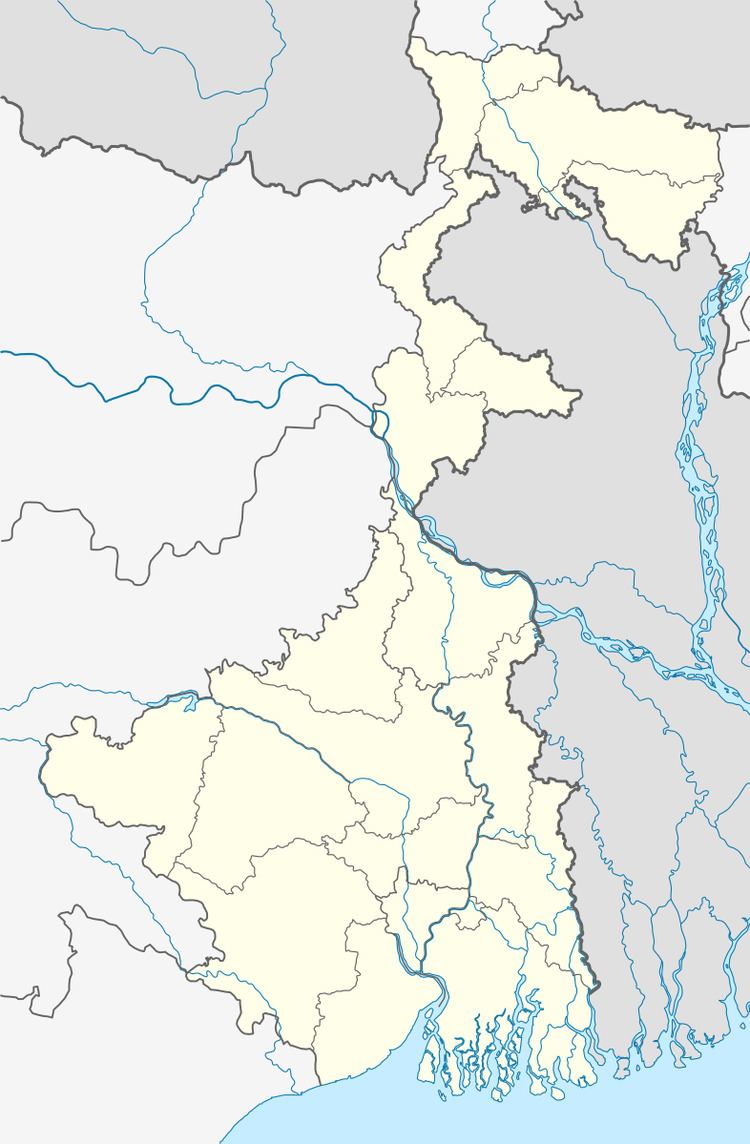
Map of Chapui, West Bengal 713339
Geography
The Asansol-Durgapur region is composed of undulating latterite region. This area lies between two mighty rivers – the Damodar and the Ajay. They flow almost parallel to each other in the region – the average distance between the two rivers is around 30 km. For ages the area was heavily forested and infested with plunderers and marauders. The discovery of coal led to industrialisation of the area and most of the forests have been cleared.
Demographics
As per 2011 Census of India Chapui had a total population of 5,358 of which 2,873 (54%) were males and 2,485 (46%) were females. Population below 6 years was 590. The total number of literates in Chapui was 3,649 (76.53% of the population over 6 years).
As of 2001 India census, Chapui had a population of 5,185. Males constitute 55% of the population and females 45%. Chapui has an average literacy rate of 59%, lower than the national average of 59.5%; with male literacy of 71% and female literacy of 46%. 12% of the population is under 6 years of age.
Economy
Chapui is coal mining area. Chaui Khas colliery is operated under Damodar River.
Collieries in the Satgram Area of Eastern Coalfields are: Kalidaspur, J.K.Nagar, Satgram, Ratibati, Chapui Khas, Mithapur, Nimcha, Jemehari, Pure Searsole, Tirath, Kuardih, Ardragram OCP and Seetaldasji OCP.
Education
Chapui has four primary school.
Culture
Handicrafts: Kantha Stitch work, Wood carvings and Jute-based products