
Max. width 5 km (3.1 mi) Area 50 km² Length 17 km | Max. length 17 km (11 mi) Surface area 50 km (19 sq mi) Surface elevation 240 m Width 5 km | |
 | ||
Similar Reloncaví Estuary, Calbuco, Angelmo, Todos los Santos Lake, Osorno | ||
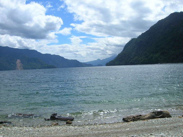
Chapo Lake (Spanish: Lago Chapo) is a lake of Chile located in Los Lagos Region. It lies immediately southeast of Calbuco volcano and south of Llanquihue National Reserve. Just south of the lake is Alerce Andino National Park.
Map of Chapo Lake, Puerto Montt, Los Lagos Region, Chile
Its waters are used for hydroelectric power generation, which causes variations in the level of the lake.
Reloncaví Estuary receives the outflow of Chapo lake.
References
Chapo Lake Wikipedia(Text) CC BY-SA