
Country United States Elevation 412 m Local time Thursday 7:59 PM | GNIS feature ID 0476299 Area 93 km² Population 202 (2000) | |
 | ||
Weather 4°C, Wind N at 10 km/h, 42% Humidity | ||
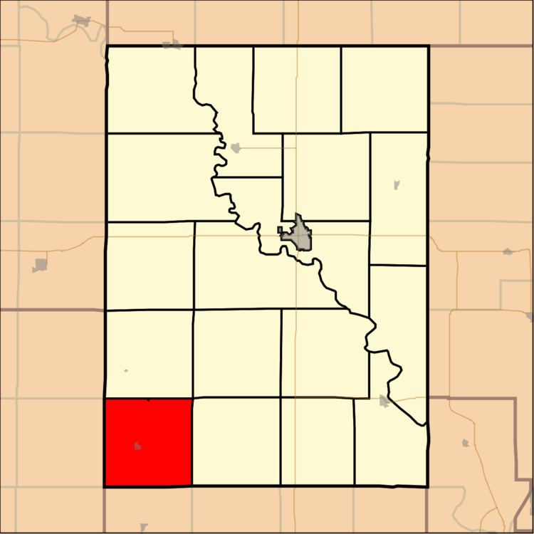
Chapman Township is a township in Clay County, Kansas, USA. As of the 2000 census, its population was 202.
Contents
Map of Chapman, KS, USA
Geography
Chapman Township covers an area of 35.91 square miles (93.0 km2) and contains one incorporated settlement, Longford. According to the USGS, it contains one cemetery, Swartwood.
The stream of West Chapman Creek runs through this township.
References
Chapman Township, Clay County, Kansas Wikipedia(Text) CC BY-SA