
Time zone UTC -3 Dial plan +598 4754 (+4 digits) Population 735 (2011) | Postal code 60005 Local time Thursday 10:35 PM | |
 | ||
Weather 28°C, Wind NE at 8 km/h, 74% Humidity | ||
tromba en chapicuy 1 2 2017
Chapicuy is a village in the Paysandú Department of western Uruguay.
Contents
- tromba en chapicuy 1 2 2017
- Map of 60005 Chapicuy PaysandC3BA Department Uruguay
- Turbonada en chapicuy
- Location and geography
- History
- Population
- Economy
- References
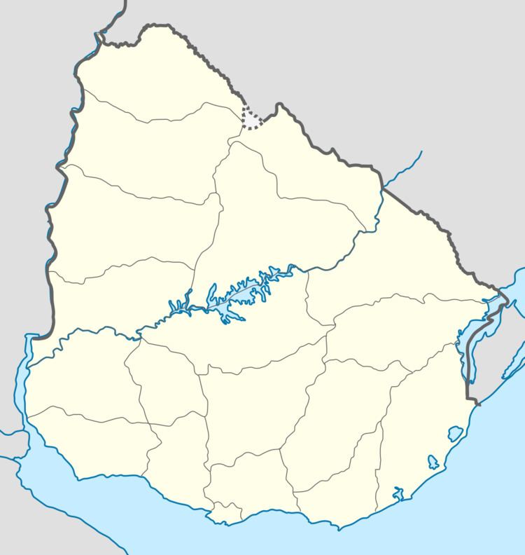
Map of 60005 Chapicuy, Paysand%C3%BA Department, Uruguay
Turbonada en chapicuy
Location and geography
The village is located on the northeastern part of Paysandú, on the shores of the Arroyo Carpinchuri (Carpinchuri stream) a tributary of Arroyo Chapicuy Grande (Big Chapicuy stream) and on Route 3 at km 454 and relatively near the city of Salto.
History
On June 14, 1818 it was the site of a famous battle where the Uruguayan “Banda Oriental” defeated the Portuguese Army in their fight for independence.
Population
According to the 2011 census, Chapicuy had a population of 735.
Source: Instituto Nacional de Estadística de Uruguay
Economy
The main sources of income are cattle, agriculture and forestry.
References
Chapicuy Wikipedia(Text) CC BY-SA