
Quadrant SE Established 1995 Population 11,151 (2011) Local time Thursday 5:47 PM | Ward 14 Elevation 1,040 m | |
 | ||
Website Chaparral Community Association Weather 4°C, Wind S at 13 km/h, 53% Humidity | ||
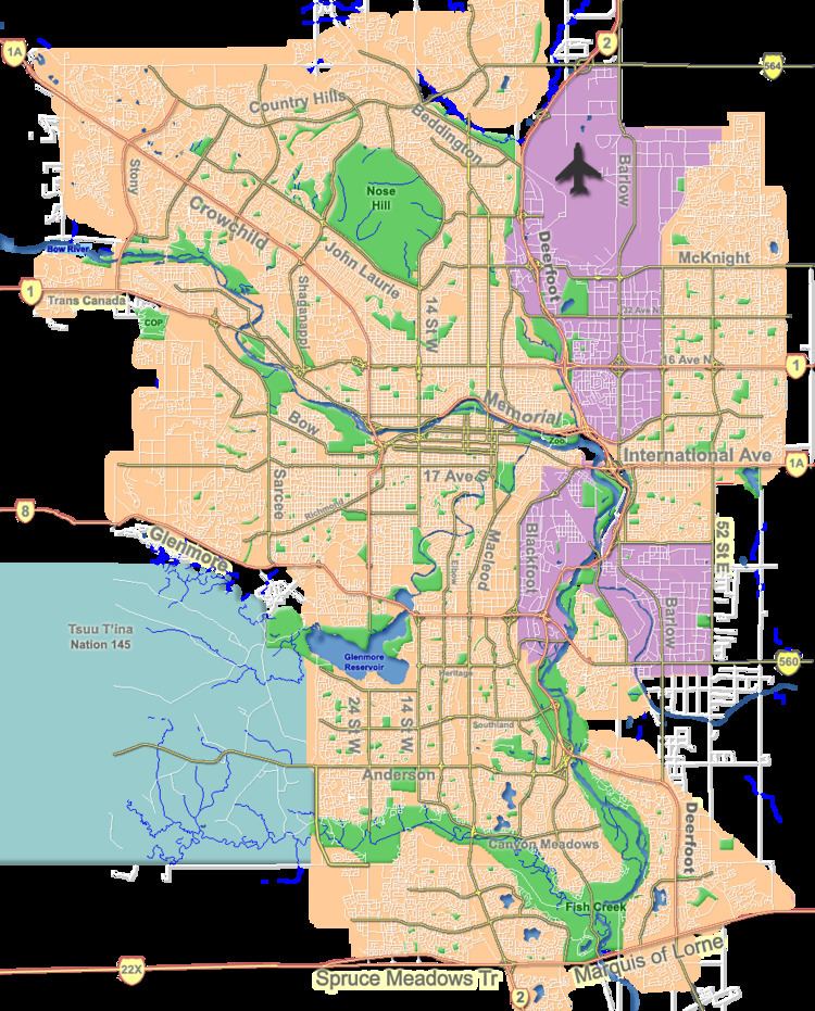
Chaparral is a residential neighbourhood in the south-east quadrant of Calgary, Alberta. It is located at the southern edge of the city, south of the Stoney Trail. To the east it is bordered by the Bow River Valley, to the south by 194 Avenue SE, and to the west by Macleod Trail.
Contents
Map of Chaparral, Calgary, AB, Canada
Chaparral was established in 1995, and named for the mediterranean climate biome. The centerpiece of the neighbourhood is a 32-acre (130,000 m2) artificial lake and a 21-acre (85,000 m2) park with two waterfalls. It is represented in the Calgary City Council by the Ward 14 councillor.
Demographics
In the City of Calgary's 2012 municipal census, Chaparral had a population of 7004115520000000000♠11,552 living in 7003375900000000000♠3,759 dwellings, a 3.6% increase from its 2011 population of 7004111510000000000♠11,151. With a land area of 5.4 km2 (2.1 sq mi), it had a population density of 2,139/km2 (5,540/sq mi) in 2012.
Residents in this community had a median household income of $79,761 in 2000, and there were 4.4% low income residents living in the neighbourhood. As of 2000, 14.7% of the residents were immigrants. A proportion of 5.2% of the buildings were condominiums or apartments, and 2.4% of the housing was used for renting.
Education
This neighbourhood has one public elementary school: Chaparral Elementary School. (K-4) This neighbourhood has one Catholic elementary school: Saint Sebastian Elementary School. (k-6)
Transit
Chaparral is served by Calgary Transit Bus Route 78 (South)