
District Puruliya Local time Friday 6:14 AM | Time zone IST (UTC+5:30) Vehicle registration WB Population 6,556 (2011) | |
 | ||
Weather 21°C, Wind W at 5 km/h, 63% Humidity | ||
Chapari is a census town in Para CD Block in Puruliya district in the state of West Bengal, India.
Contents
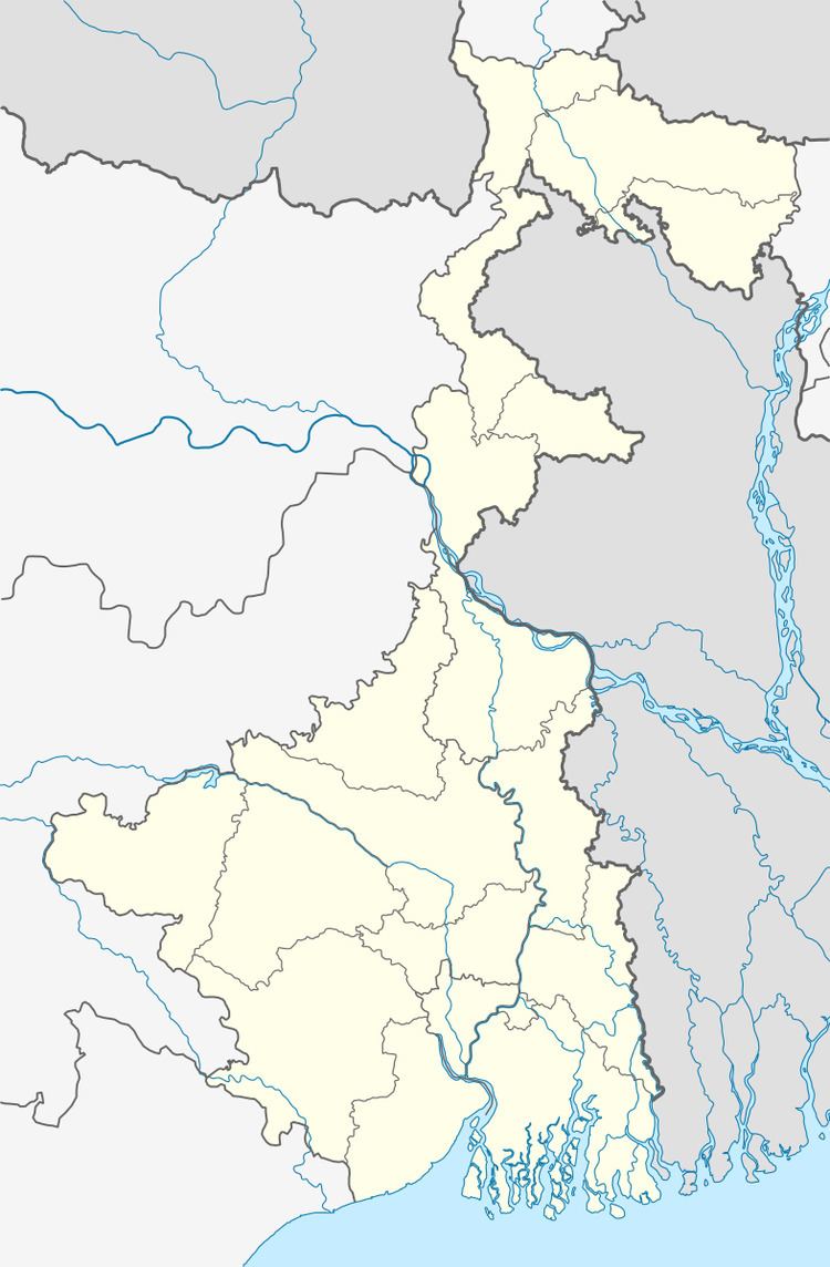
Map of Chapari, West Bengal
History
The Jaina Bhagavati-Sutra of 5th century AD mentions that Purulia was one of the sixteen mahajanapadas and was a part of the kingdom known as Vajra-bhumi in ancient times. In 1833, Manbhum district was carved out of Jungle Mahals district, with headquarters at Manbazar. In 1838, the headquarters was transferred to Purulia. In 1956, Manbhum district was partitioned between Bihar and West Bengal under the States Reorganization Act and the Bihar and West Bengal (Transfer of Territories) Act 1956.
Geography
The area forms the lowest step of the Chota Nagpur Plateau. The general scenario is undulating land with scattered hills.
Demographics
As per 2011 Census of India Chapari had a total population of 6,556 of which 3,381 (52%) were males and 3,175 (48%) were females. Population below 6 years was 678. The total number of literates in Chapari was 5,121 (87.12% of the population over 6 years).
As of 2001 India census, Chapari had a population of 7242. Males constitute 53% of the population and females 47%. Chapari has an average literacy rate of 77%, higher than the national average of 59.5%; with male literacy of 84% and female literacy of 69%. 11% of the population is under 6 years of age.