
Intercommunality Haut Grésivaudan Area 30 km² | Canton Le Touvet Population (2014) 2,931 Local time Friday 1:44 AM | |
 | ||
Weather 5°C, Wind S at 5 km/h, 77% Humidity Points of interest Mont Granier, Réserve naturelle nationale, Col de l'Alpette, Domaine Giachino | ||
Chapareillan is a commune in the Isère department in southeastern France. It is situated on the Gresivaudan valley on the border of the department: Savoie: This little town is exactly at 16 kilometers from Chambéry (Nord-Est) and 42 from Grenoble (North-Est). Chapareillan is under the mount Granier and is encompassed more than 3000 hectares.
Contents
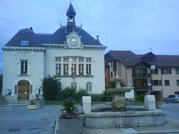
Map of Chapareillan, France
History
Several discoveries demonstrated this location was occupied a long time ago : Flints was carved on the Granier dating from the ancient Neolithic period, Gallo-Roman remains. In the middle age, the parish of Chapareillan was mandated by Bellecombe. On the border of the territory of the counts of Savoie and futures Dauphins, Bellecombe was a strategic issue and became more powerful result on several confrontations with its neighbors. The family of the lords of Bellecombe is attested in 1073. They are more located in Savoie. But, feudal often change their opinion and the possession of Bellecombe by a family of Savoie : Briançon in 1206 doesn’t mean that the count of Savoy will indefinitely occupied the territory. The Dauphin apparel ceded the manor of Varces (France) at Aymeric of Briançon in return of Bellecombe in 1287. Meanwhile, the collapse of the mountain: the Granier in 1248 disrupted the landscape and maybe contributed to separate lordship land of Savoie. Clavis Totios Delphanitus is an expression used to say that to possess Bellecombe is to have the key of all the Dauphine. Dauphine is the former Viennese province located in the Southeast quarter of the current France. The counts of Savoie undertake the construction of the castles of Les Marches (now a small town close to Bellecombe) in 1300 to counteract the loss of Bellecombe. Then, the desiny of Bellecombe-Chapareillan will diverge from its neighbors of Savoie. In 1349, the Dauphine is sold to France by the first Dauphin and Chapareillan-Bellecombe became definitely French. The counts and then the dukes of Savoie had lot of conflits with France, their powerful neighbor. They were kings of Sardinia and then Italia. They compensated their weaknesses by a policy balance. This region experienced many wars. The fortress of Montmelian, considered as one of the most powerful in Europe, undergoes several attacks. Savoie had advantaged of the situation of Chapareillan that are in the “good side” :
The town of Chapareillan was created in 1790 by the attachment of Bellecombe and Chapareillan parishes. It is belonging to the Isere department.
Limits
Limits are sometimes difficult to define, and are often disputed: