
Area 451.8 km² | Time zone BST (UTC+6) | |
 | ||
Website Official Map of Nawabganj Sadar | ||
Nawabganj Sadar (Bengali: নবাবগঞ্জ সদর) is an Upazila of Nawabganj District in the Division of Rajshahi, Bangladesh.
Contents
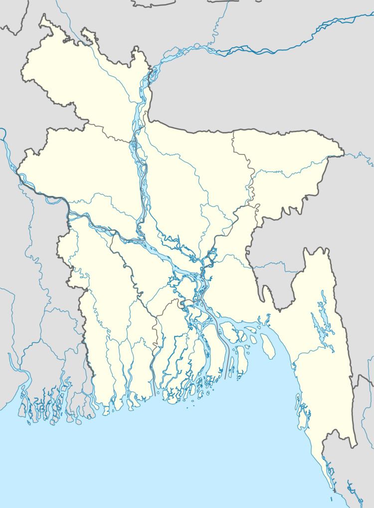
Map of Nawabganj Sadar Upazila, Bangladesh
Geography
Nawabganj Sadar is located at 24.6000°N 88.2667°E / 24.6000; 88.2667 . It has 65158 households and total area 451.8 km².
Demographics
As of the 1991 Bangladesh census, Nawabganj Sadar has a population of 389524. Males constitute 50.39% of the population, and females 49.61%. This Upazila's eighteen up population is 187893. Nawabganj Sadar has an average literacy rate of 27.1% (7+ years), and the national average of 32.4% literate.
Administration
Nawabganj Sadar has 19 Unions/Wards, 237 Mauzas/Mahallas, and 192 villages.
Education
According to Banglapedia, Harimohon Government High School, founded in 1895, is a notable secondary school.
References
Chapai Nawabganj Sadar Upazila Wikipedia(Text) CC BY-SA