Country Thailand Time zone ICT (UTC+7) Geocode 3702 Population 37,677 (2005) | Seat Chanuman Postal code 37210 Area 555.8 km² Province Amnat Charoen Province | |
 | ||
Chanuman (Thai: ชานุมาน, [t͡ɕʰāː.nú.māːn]) is the northeasternmost district (amphoe) of Amnat Charoen Province, northeastern Thailand.
Contents
Map of Chanuman District, Amnat Charoen, Thailand
History
Mueang Chanuman Monthon was established in 1879. As it was a subordinate mueang of Ubon Ratchathani, it became a district of Ubon Ratchathani Province during the thesaphiban administrative reform. Later the city fell into an economic crisis and people migrated to other regions. 1912 Prince Sapphasitthiprasong downgraded it to a minor district (king amphoe) and made it a subordinate of Khemarat District. It was upgraded to a district again in 1958. In 1993 it was one of the districts which formed the new province, Amnat Charoen.
Geography
Neighboring districts are (from the southeast clockwise) Khemarat of Ubon Ratchathani Province, Pathum Ratchawongsa, Senangkhanikhom of Amnat Charoen Province, Loeng Nok Tha of Yasothon Province, and Don Tan of Mukdahan Province. To the east across the Mekong river is the Laotian province Salavan.
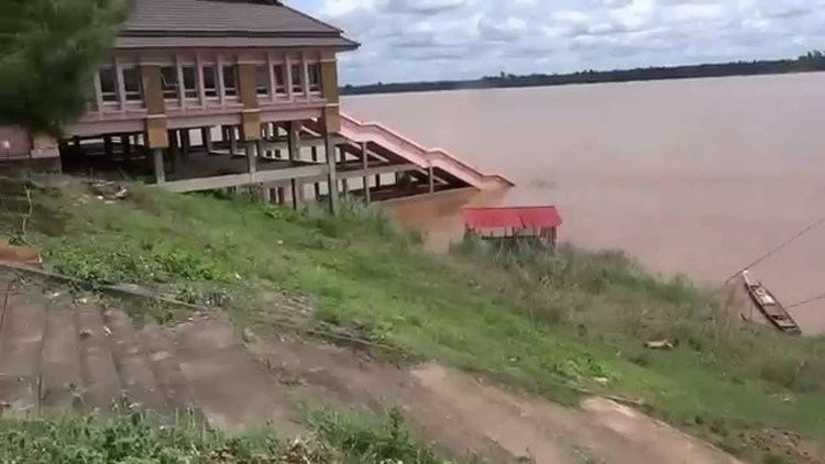
The important water resource is the Mekong River.
Administration
The district is divided into five sub-districts (tambon), which are further subdivided into 59 villages (muban). Chanuman is a township (thesaban tambon) which covers parts of the tambon Chanuman. There are further five tambon administrative organizations (TAO).
