Country Spain Comarca Chantada Demonym(s) Chantadinos Area 176.7 km² Local time Friday 12:32 AM | Elevation 36 m (118 ft) Time zone CET (UTC+1) Population 8,553 (2014) | |
 | ||
Weather 9°C, Wind S at 16 km/h, 80% Humidity Points of interest Via Romana, Adegas e Viñedos Lareu ‑ S, Monte Faro, Diego de Lemos | ||
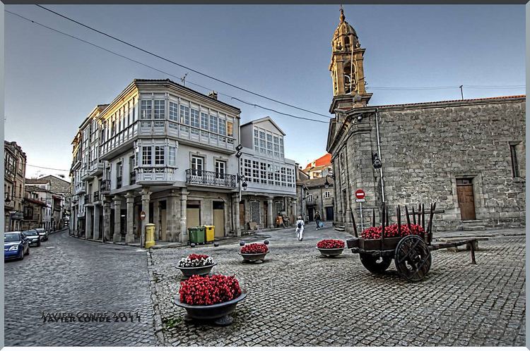
Chantada, is a municipality in the province of Lugo, Galicia, Spain.
Map of Chantada, Lugo, Spain
Chantada is situated on the left bank of the Río Asma, a small right-hand tributary of the Minho river, and on the main road from Ourense, 29 km S. by W., to Lugo, 45 km N. by E. Chantada is the chief town of the fertile region between the Minho and the heights of El Faro, which mark the western border of the province. Despite the lack of railway communication, it has a thriving trade in grain, flax, hemp, and dairy produce.
References
Chantada Wikipedia(Text) CC BY-SA
