
Time zone PST (UTC+5) Local time Friday 2:07 AM | Elevation 2,559 m Province Khyber Pakhtunkhwa | |
 | ||
Weather 1°C, Wind NE at 8 km/h, 81% Humidity | ||
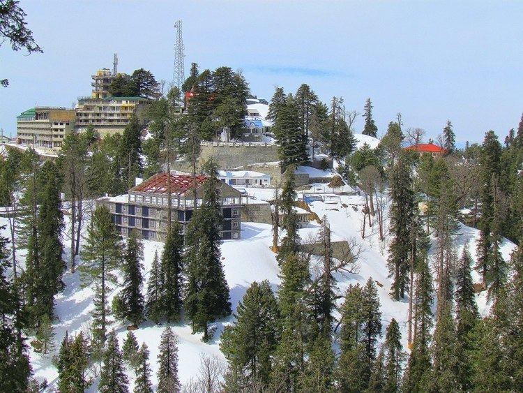
Winter tour 2013 11 through the snow murree to changla gali
Changla Gali is one of the tourist mountain resort towns of the Galyat area of Pakistan. It has an elevation of 2559m. During British rule it was the headquarters of the Northern Command School of Musketry.
Contents
- Winter tour 2013 11 through the snow murree to changla gali
- Map of Changla Gali Pakistan
- Location
- References
Map of Changla Gali, Pakistan
Location
Changla Gali is located in Seer Gharbi which is a Union Council of Abbottabad District, and is located 16 km north from the more famous Galyat town of Murree in Rawalpindi District.
References
Changla Gali Wikipedia(Text) CC BY-SA