Time zone IST (UTC+5:30) Area 5.7 km² Area code 589605 | PIN 521330 Population 1,519 (2011) | |
 | ||
Weather 23°C, Wind S at 3 km/h, 88% Humidity | ||
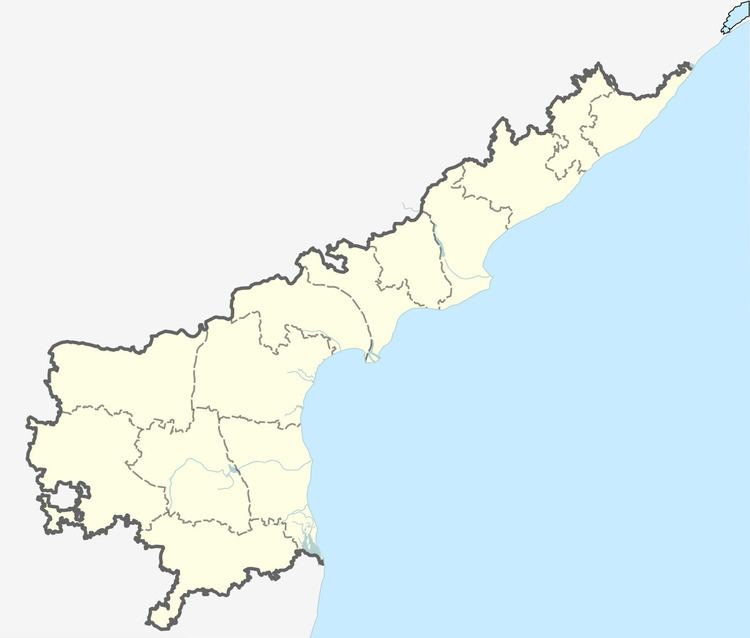
Chandrala is a village in Krishna district of the Indian state of Andhra Pradesh. It is located in Gudlavalleru mandal of Gudivada revenue division.
Contents
Demographics
As of 2011 census, Chandrala had a population of 1,519. The total population constitute, 772 males and 747 females —a sex ratio of 968 females per 1000 males. 140 children are in the age group of 0–6 years, of which 79 are boys and 61 are girls. The average literacy rate stands at 73.46% with 1,013 literates, significantly higher than the state average of 67.41%. It has a Government M.P.U.P.School, a Postal Office. Chandrala belongs to Mudinepalli Constituency Chandrala has also been selected as Indiramma Model Village.
Climate
Chandrala falls in the hot humid region of the country and it is less than 32 miles from Bay of Bengal. The climate of this village is moderate and it is pleasant during the winter. The hottest day falls in the month of May with shift to June during some years. The maximum temperature observed is 55 °C and the minimum temperature observed is 09.8 °C.
Economy
People of this region mainly depend on Agriculture, Dairy Farming, Toddy Tapping and Aquaculture. Seasonal Crops like Rice, Green Gram, Black Gram are more predominant in this region.
Transport
It is located 11.2 km away from Gudivada and 29.2 km from Machilipatnam.
