Puneet Varma (Editor)

Chandla

Updated on
Edit
Like
Comment
Share on FacebookTweet on TwitterShare on LinkedInShare on Reddit
Country
  
India

District
  
Chhatarpur

Vehicle registration
  
MP

Local time
  
Friday 12:18 AM

ISO 3166 code
  
ISO 3166-2:IN

State
  
Madhya Pradesh

Time zone
  
IST (UTC+5:30)

Elevation
  
177 m

Population
  
10,207 (2001)

Chandla

Weather
  
20°C, Wind E at 3 km/h, 59% Humidity

Chandla is a town and a nagar panchayat in Chhatarpur district in the state of Madhya Pradesh, India.

Contents

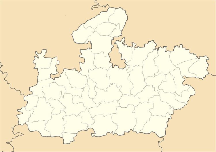
Map of Chandla, Madhya Pradesh 471525

Geography

Chandla is located at 25.08°N 80.2°E / 25.08; 80.2. It has an average elevation of 177 metres (580 feet). It is hilly and located on the bank of Ken river.

Demographics

As of 2001 India census, Chandla had a population of 10,207. Males constitute 53% of the population and females 47%. Chandla has an average literacy rate of 57%, lower than the national average of 59.5%; with male literacy of 66% and female literacy of 46%. 20% of the population is under 6 years of age.

Places to visit

  • Santoshi mata mandir (place of RSS shakha , near rest house ) .
  • Avadh kund , the most sacred place, the story behind it is that shree RAMA came here at the time of their VANVAAS. Makar Sankranti Mela also held at this place . God Rama's foot prints also present here , the water of the kund is like GANGA river , it'll never have any type of virus and germs even one can contain it for years .
  • Temples resembling Khajuraho temples (4 km from Chandla in vyas badaura gram)
  • like jain temple .

  • Jarau mata mandir (near tehsil and police station) .
  • Ken river also located 5 km to chandla, place for having fun with running water .
  • Connectivity

  • Chitrakoot - 120 km
  • Chhatarpur - 80 km
  • Banda - 60 km
  • Ajaygarh - 30 km
  • Khajuraho - 70 km
  • Panna - 65 km
  • References

    Chandla Wikipedia


    Similar Topics