
Country India Headquarters Chandel Vehicle registration MN Area 496 km² Date formed May 13, 1974 | State Manipur Time zone IST (UTC+5:30) Website chandel.nic.in Population 144,028 (2011) ISO 3166 code ISO 3166-2:IN | |
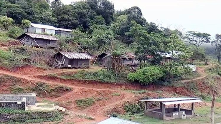 | ||
Aimol dance troupe from chandel district manipur
Chandel district (Pron:/ˌtʃænˈdɛl/) is one of the 9 districts of Manipur state in northeastern India. As of 2011 it is the second least populous district in the state, after Tamenglong.
Contents
- Aimol dance troupe from chandel district manipur
- Map of Chandel Manipur
- History
- Geography
- Economy
- Administrative Divisions
- Demographics
- Languages
- Flora and fauna
- References
Map of Chandel, Manipur
History
This district came into existence on 13 May 1974 as Tengnoupal District. In 1983 the district headquarter was shifted to Chandel, and subsequently it was renamed as Chandel district. Originally the named Chandel is Chamdil, taken from the Anāl (Pakan) language meaning 'Cham' = Simple, and 'Dil' = pant (men's Wear).
Geography
Chandel town is the administrative headquarters of the district. Moreh town, an important trade centre between Manipur and Myanmar is located at the southernmost part of this district. Chakpikarong town is important where the river Chakpi runs in the middle of the town and a business centre in the district, mainly comprises Anāl NagaTribe. And Tengnoupal town which is also the Sub-Divisional Headquarter is the gate-way to all the roads leading to four corner of the district. Tengnoupal is inhabited by Mate tribe.
Economy
In 2006 the Ministry of Panchayati Raj named Chandel one of the country's 250 most backward districts (out of a total of 640). It is one of the three districts in Manipur currently receiving funds from the Backward Regions Grant Fund Programme (BRGF).
Administrative Divisions
The district is divided into 3 sub-divisions:
Recently, Tengnoupal District is carved out from Chandel district comprising sub-divisions of Tengnoupal, Moreh, Machi.
Demographics
According to the 2011 census Chandel district has a population of 144,028, roughly equal to the nation of Saint Lucia. This gives it a ranking of 602nd in India (out of a total of 640). The district has a population density of 43 inhabitants per square kilometre (110/sq mi) . Its population growth rate over the decade 2001-2011 was 21.72%. Chandel has a sex ratio of 932 females for every 1000 males, and a literacy rate of 70.85%.
Languages
Languages spoken include Anāl Naga (Pakan) and Meitei language in the Headquarter. Anāl Naga tribe is dominant in the district headquarter and Aimol, a Sino-Tibetan tongue with less than 2500 speakers, written in the Latin script; and Anal, which is also Sino-Tibetan and spoken by approximately 14,000 Indians, and more in Myanmar (and which should not be confused with the Anus language).
Some languages spoken in Chandel district are:
Flora and fauna
In 1989, Chandel [originally Tengnoupal district] became home to the Yangoupokpi-Lokchao Wildlife Sanctuary, which has an area of 185 km2 (71.4 sq mi).