Time zone IST (UTC+5:30) | PIN 523214 | |
 | ||
Chandaluru is a village in Prakasam district of the Indian state of Andhra Pradesh. It is located 37 km towards North from District headquarters Ongole, 340 km from Present State capital Hyderabad and 70 km from Proposed Capital Amaravati. Gangavaram ( 3 km ), Chinamallavaram ( 6 km ), Duddukuru ( 5 km ), Janakavaram Panguluru ( 4 km ), Inkollu ( 6 km ) are the nearby Villages and Chirala , Addanki , Chilakaluripet , Bapatla are the nearby Towns to Chandaluru.
Contents
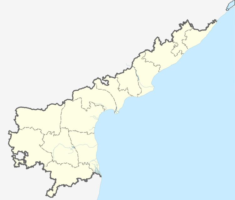
Map of Chandaluru, Andhra Pradesh
Geography
It is located at 15.784651°N 80.139716°E / 15.784651; 80.139716 and is surrounded by Inkollu Mandal towards East, Korisapadu Mandal towards west, Chinaganjam Mandal towards East, Naguluppala Padu Mandal towards South and Martur Mandal towards North.
References
Chandaluru Wikipedia(Text) CC BY-SA
