Vehicle registration GJ Elevation 61 m Local time Thursday 11:10 PM | Time zone IST (UTC+5:30) Website gujaratindia.com Population 15,819 (2001) | |
 | ||
Weather 23°C, Wind NW at 5 km/h, 35% Humidity Neighborhoods Samani Society, Ambedkar Nagar, Kandas Pura | ||
Chanasma is a small town and a municipality in Patan district in the state of Gujarat, India.
Contents
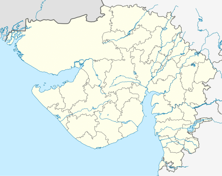
Map of Chanasma, Gujarat
Geography
Chanasma is located at 23.72°N 72.12°E / 23.72; 72.12. It has an average elevation of 61 metres (200 feet).
Education
It also has a commerce and arts college and two schools which provides education until 12th grade.
Demographics
At the 2001 India census, Chanasma had a population of 15,819. Males constituted 52% of the population and females 48%. Chanasma had an average literacy rate of 74%, higher than the national average of 59.5%; with male literacy of 81% and female literacy of 67%. 10% of the population was under 6 years of age.
References
Chanasma Wikipedia(Text) CC BY-SA
