
Country Thailand Tambon 4 Amphoe established July 15, 1983 Area 607.2 km² Province Narathiwat Province | Seat Chanae Muban 31 Time zone THA (UTC+7) Population 37,034 (2014) | |
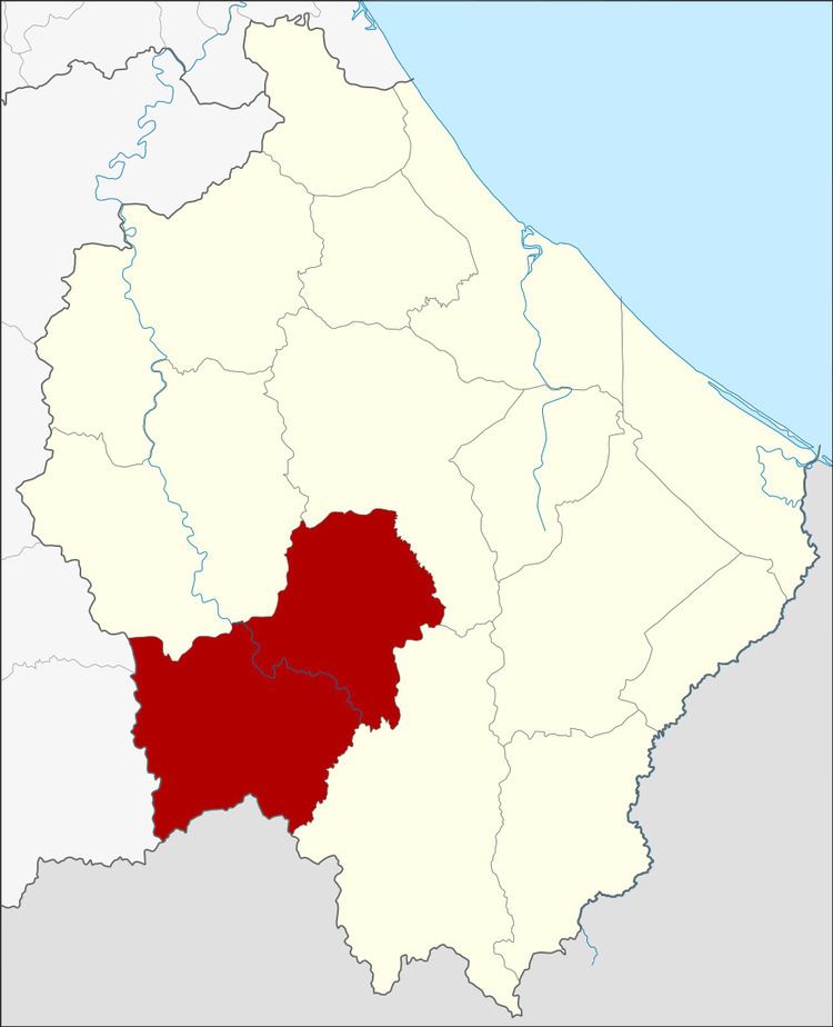 | ||
Chanae (Thai: จะแนะ) is a district (amphoe) in the southern part of Narathiwat province, southern Thailand.
Contents
- Map of Chanae District Narathiwat Thailand
- History
- Geography
- Central administration
- Local administration
- References
Map of Chanae District, Narathiwat, Thailand
History
Tambon Dusong Yo and Chanae were separated from Ra-ngae district to create Chanae minor district (King Amphoe) on July 15, 1983. It was officially upgraded to a full district on January 1, 1988.
Chanae is the Malay name of a native Colocasia species.
Geography
Neighboring districts are (from the west clockwise) Betong and Than To of Yala province, Sisakhon, Ra-ngae, Sukhirin of Narathiwat province and the state Perak of Malaysia.
Central administration
The district Chanae is subdivided into 4 subdistricts (Tambon), which are further subdivided into 31 administrative villages (Muban).
Local administration
There are 4 subdistrict administrative organizations (SAO) in the district:
References
Chanae District Wikipedia(Text) CC BY-SA